Author Archive
Two Elk 2009
by Mitchell Sprinsky on Sep.21, 2009, under Uncategorized
The ride to Bowman’s Shortcut was uneventful, though a little cold.

Bowman’s mocked us again. That damn goat!
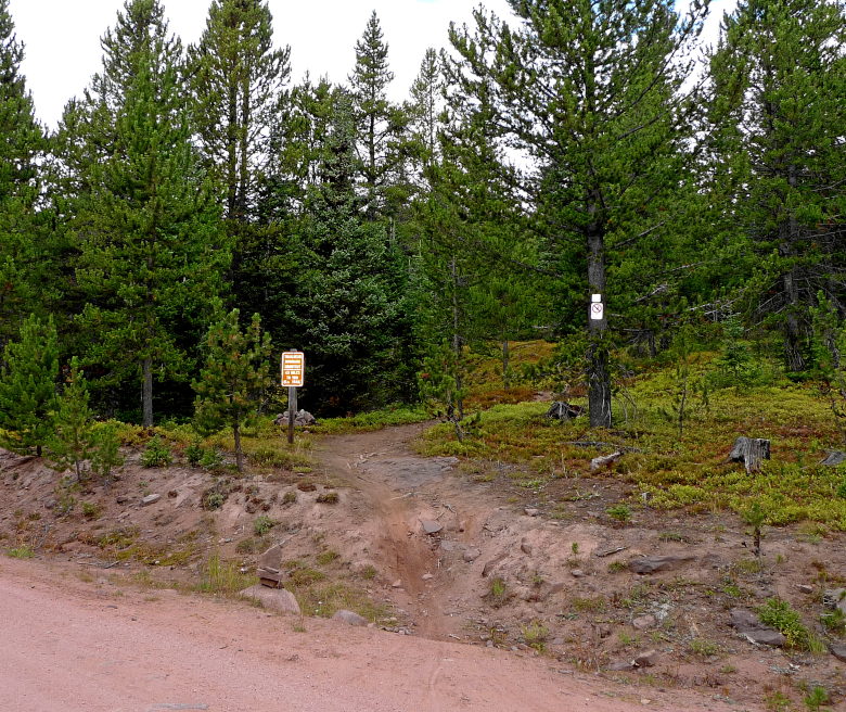
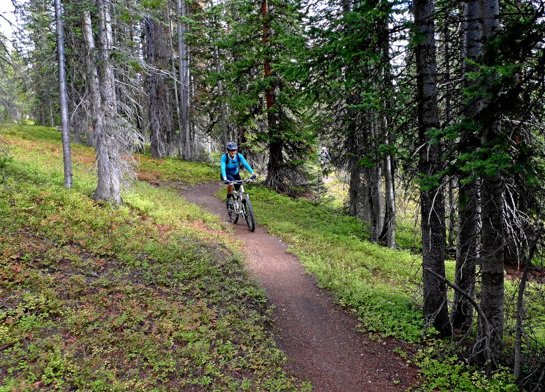
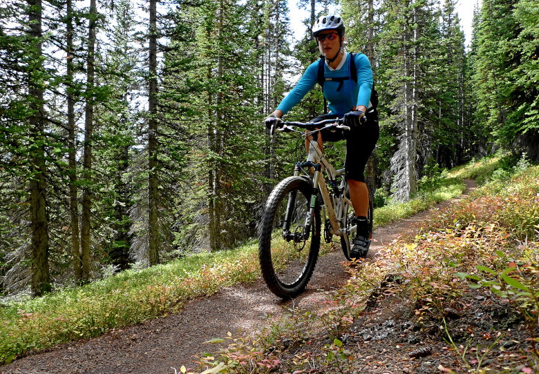
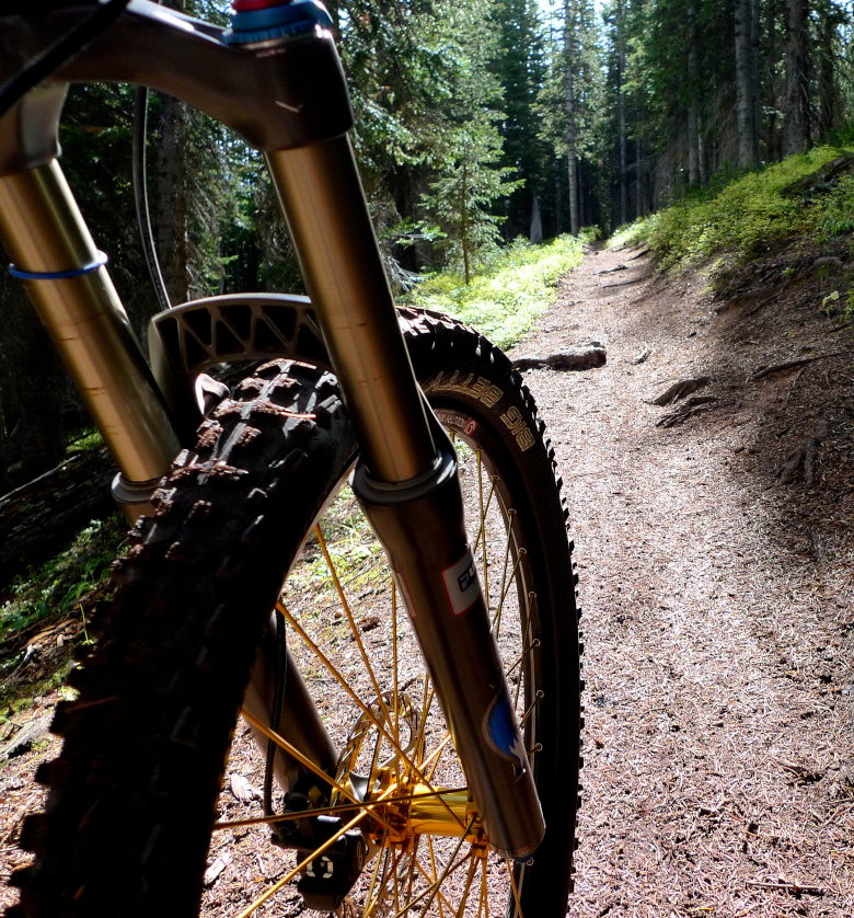
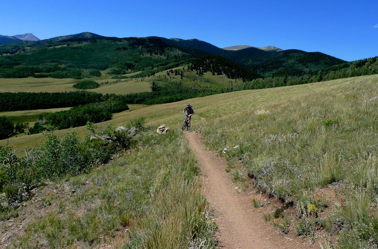
I can take this picture a hundred times (and I probably have) and yet it still presents the reality of the beauty around me.
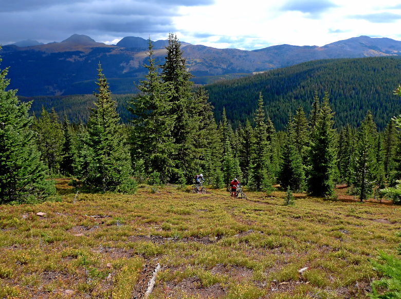
Andrea was ripping up the trail.
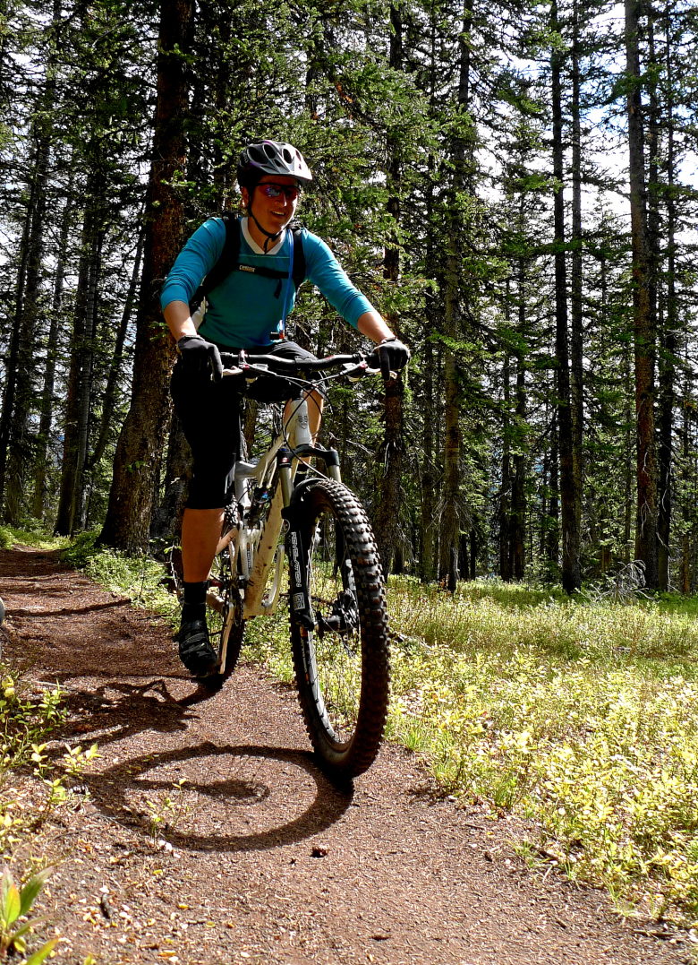
And the boys were up to their jokes.


As long as the blue hangs around it will be fine,
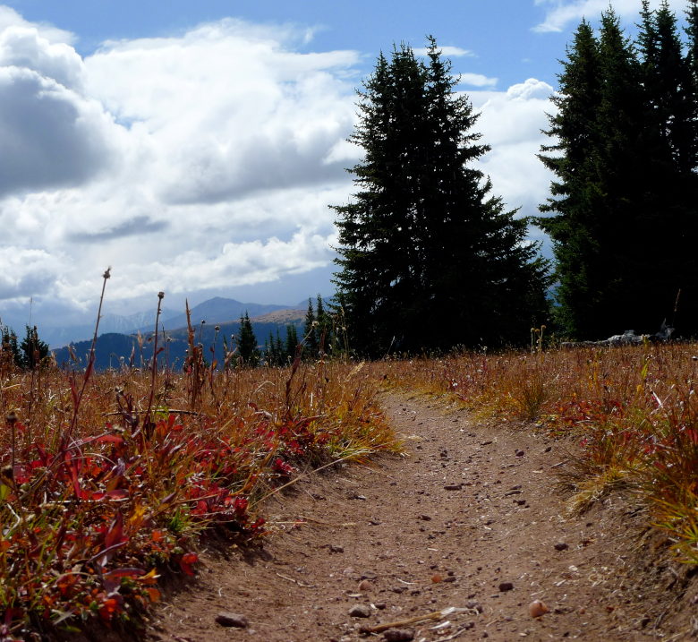
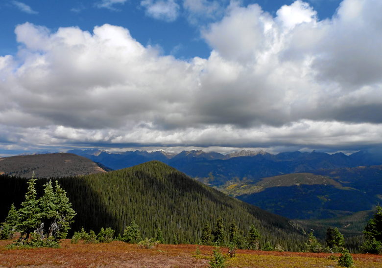
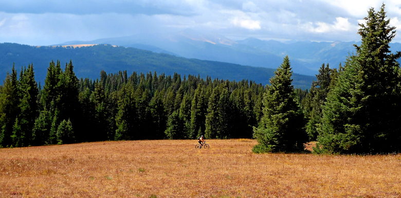
Andrea had a need for speed.
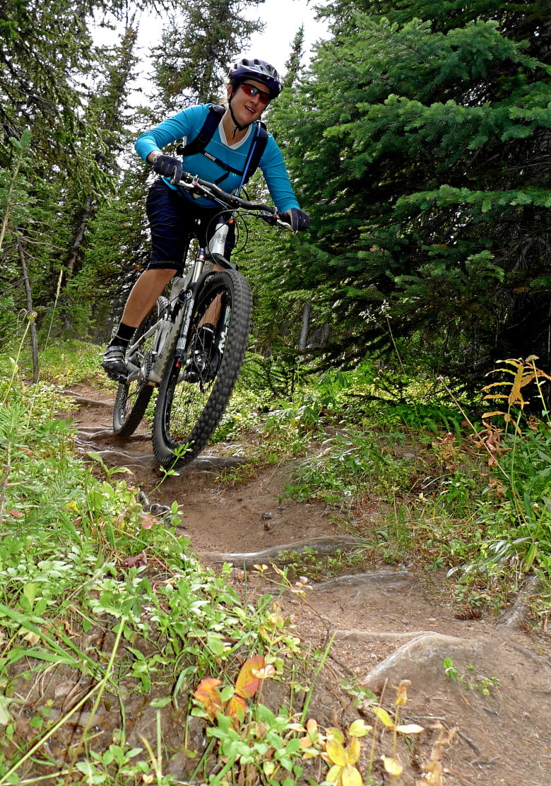
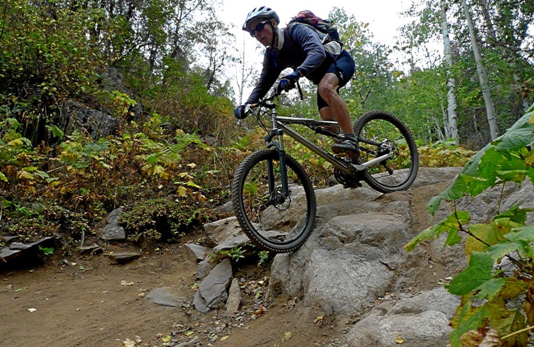
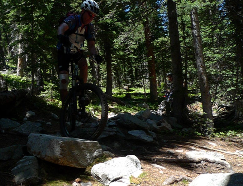
Keith can play on the routy rocks as well.
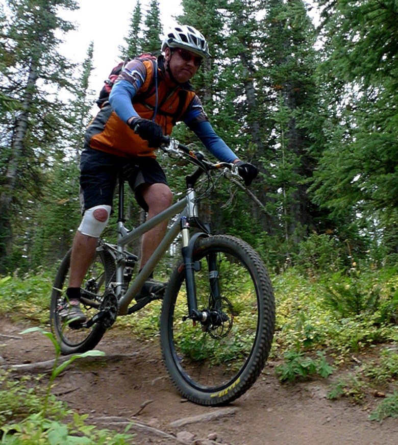
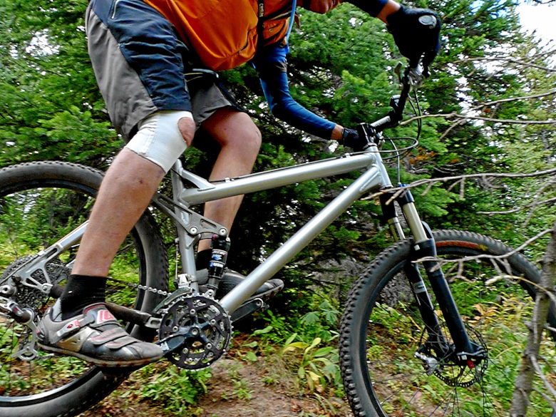
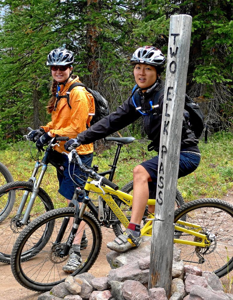
Rachel and Alisha making a pass.
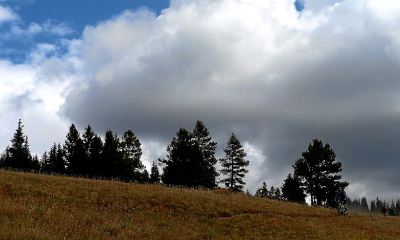
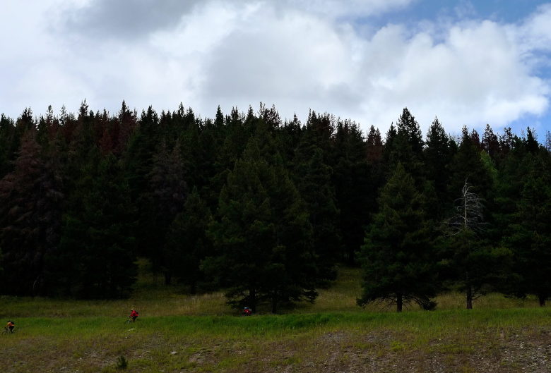
Winding down the back bowl singletrack.
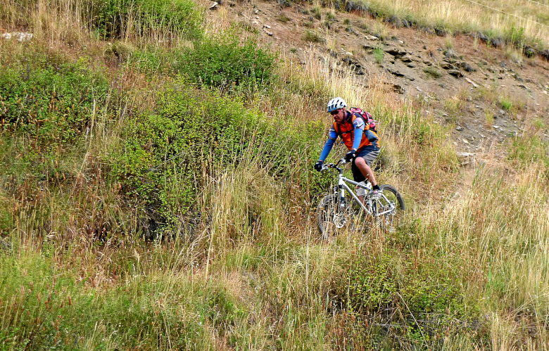
It’s time for the testosterone fueled "I can do that" event. Jason decided he would jump off the 8′ ledge just above the lifts.
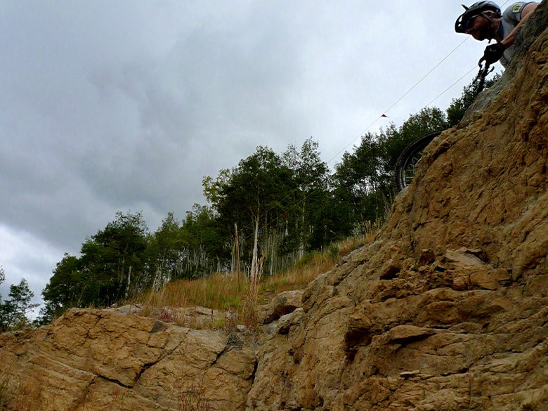
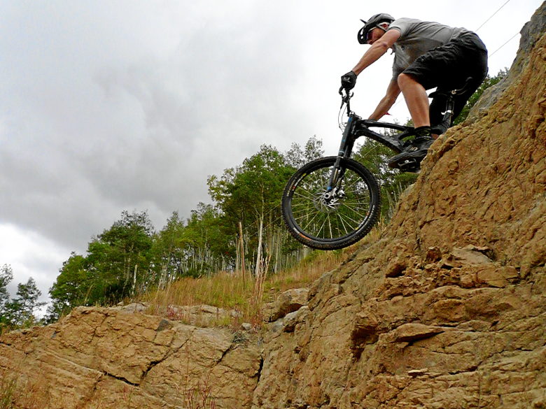
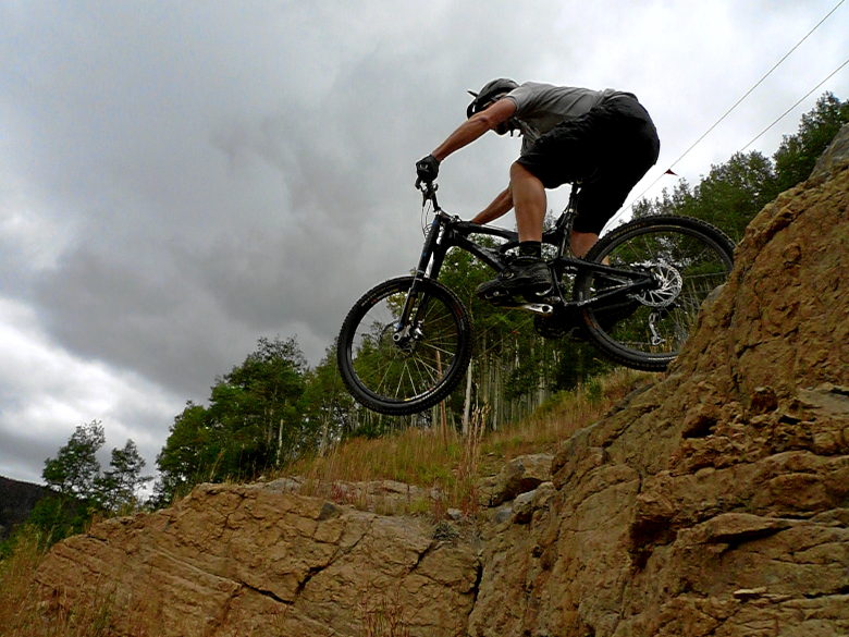
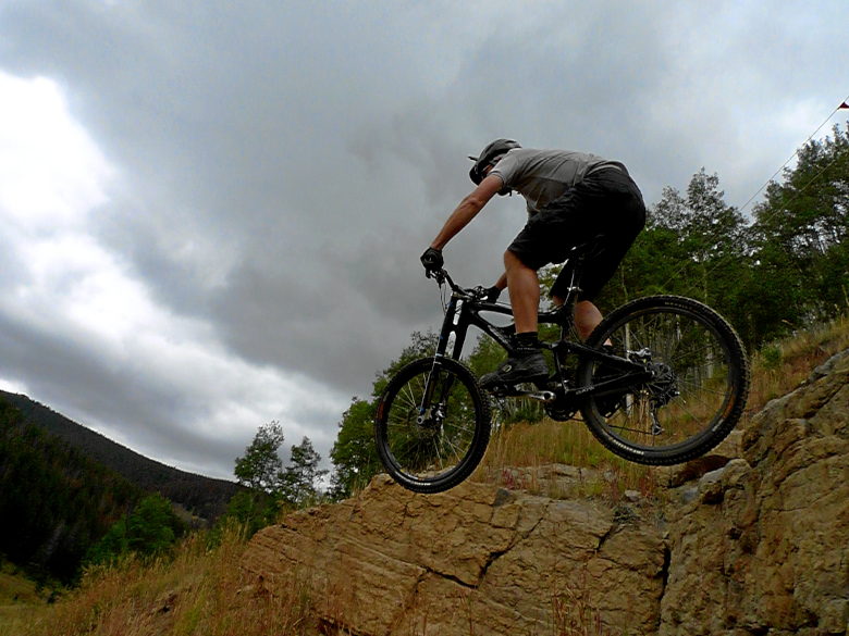
It was beautiful.

Until he landed.
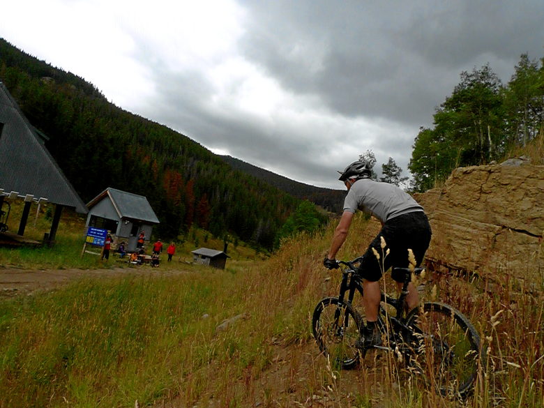
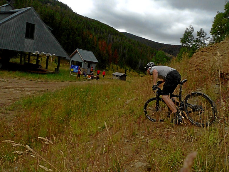
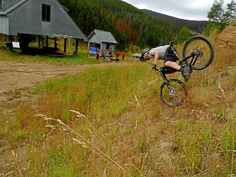
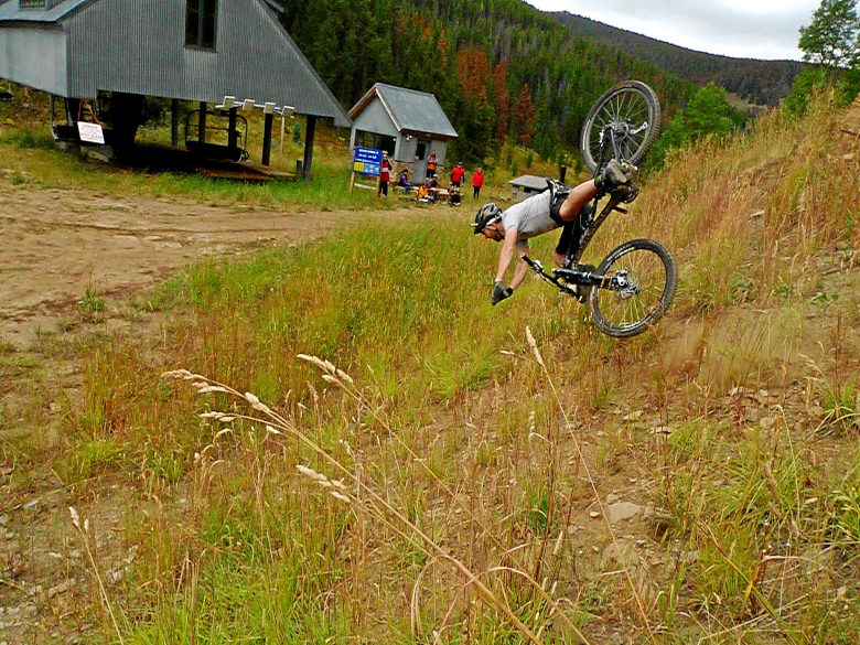
How come I don’t have a picture of him curled up in a ball? I think I went into shock when I heard the hit and couldn’t press the button.
The rain started coming down hard. It made the bottom portion by the creek an interesting ride. I hate the exposure to begin with. Add in rocks that are as slippery as a water slide and it was a "special" experience.
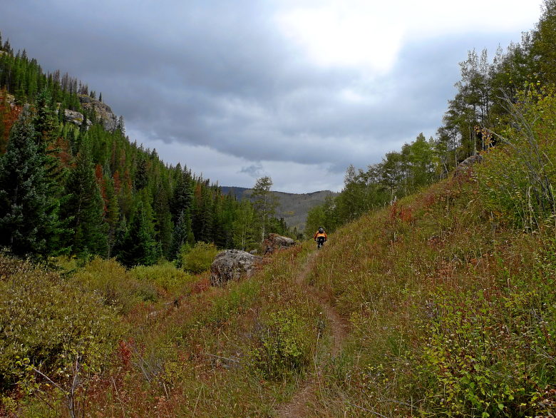
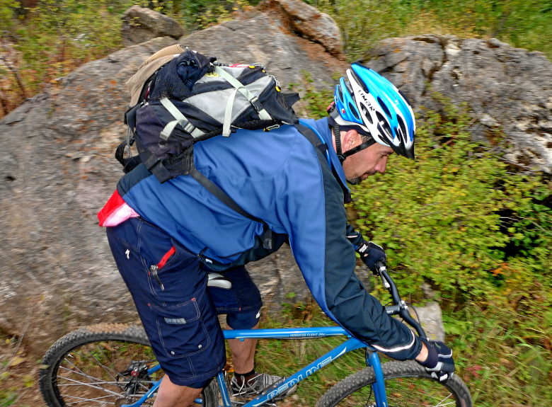
Joe rocked the fully rigid SS the entire way.
Steamboat Springs
by Mitchell Sprinsky on Sep.14, 2009, under Uncategorized
We got a nice three bedroom condo for $100 a night that five of us shared. We did our own meals in the kitchen and made it a very affordable weekend.
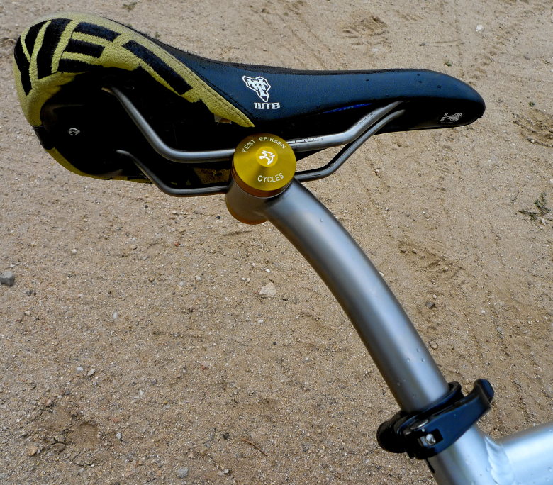
We arrived Friday afternoon, but I had an appointment with a mountain biking legend to take care of first. So I met Kent Ericksen at his shop. Kent is the man who started Moots and now has a new brand as his own. I wanted to talk custom frames and by the time I left, I had ordered a new custom bike and sported one major piece of it.
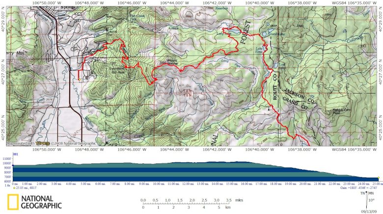
We had an epic ride planned for Saturday, that would take us to Rabbit Ears pass and on down back to our condo. I had no idea just how beautiful this ride was going to be and it now rates in my top five Colorado rides. Beautiful trail, lakes, scenery, and a hootin’ downhill at the end.
We actually added an additional four miles by parking just a little further down. It was a great piece of four mile trail.
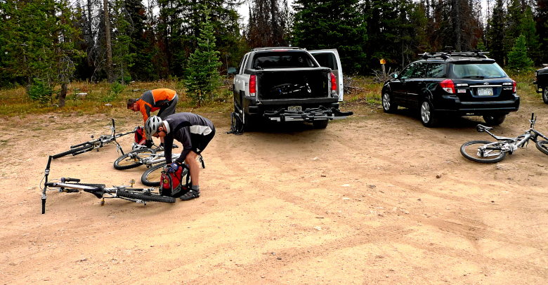
Though the day was a little overcast, it never rained on us. In fact, it was probably a great temperature to be riding in.
Fall was in the air and colors had begun to pop. The lakes we passed on the way only added another level of beautiful distractions.
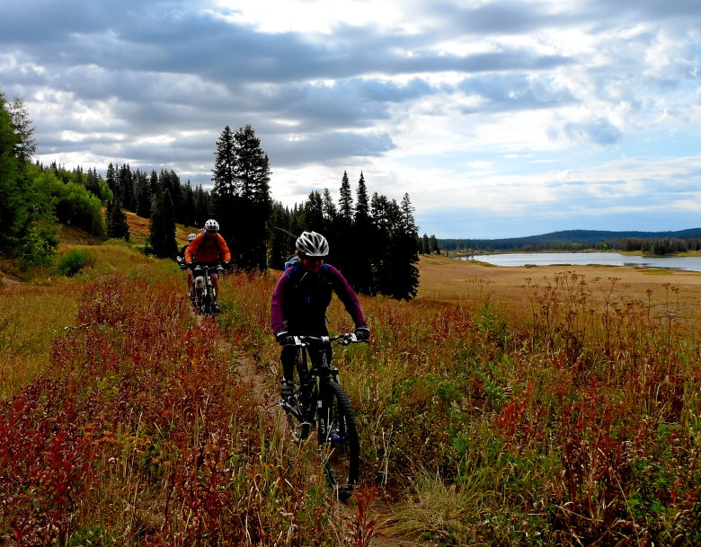
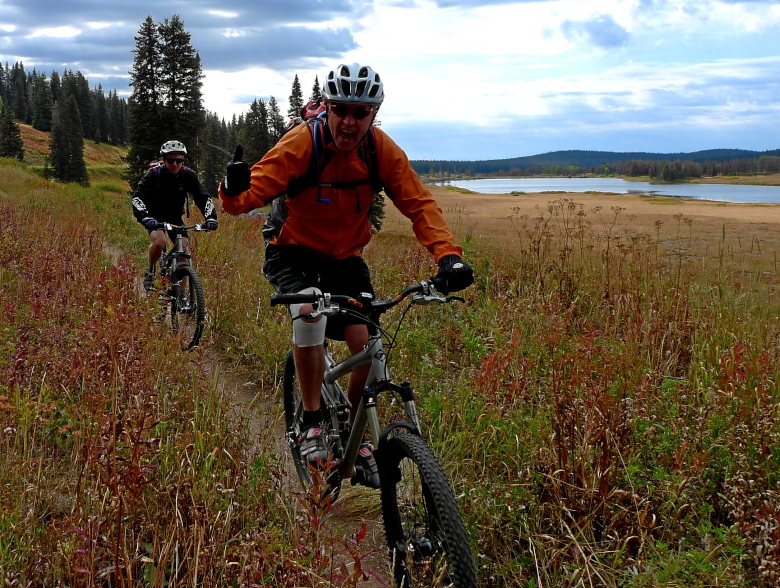
There were a couple of water crossing along the way. I picked and chose which one to ride based upon frozen toe syndrome. Of course I picked the wrong one.
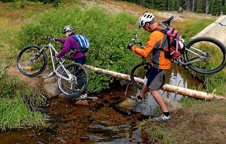
Things were still incredibly green and the climbs were grunts.
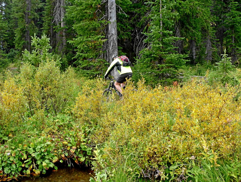

But even after that, the lightly traveled trail spoke wonders about how special the area is.

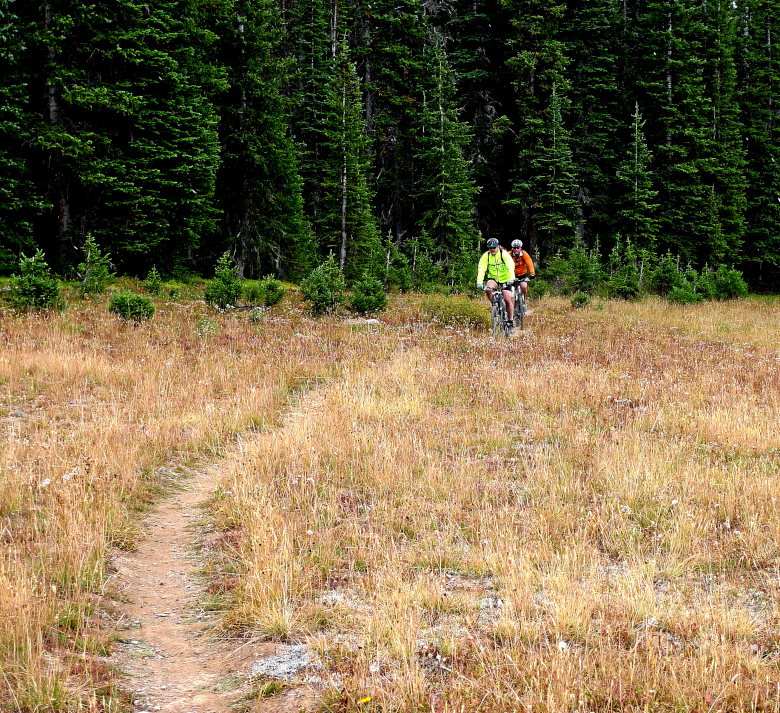
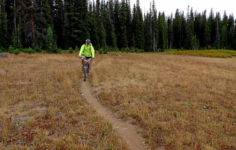
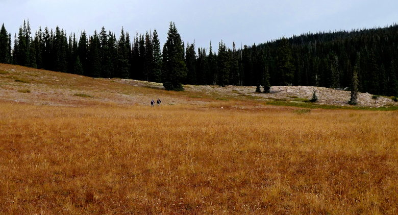
We road on quite a few trails, some with lake names, others with fish names, buy everyone seemed to connect in a map of wooded perfection.
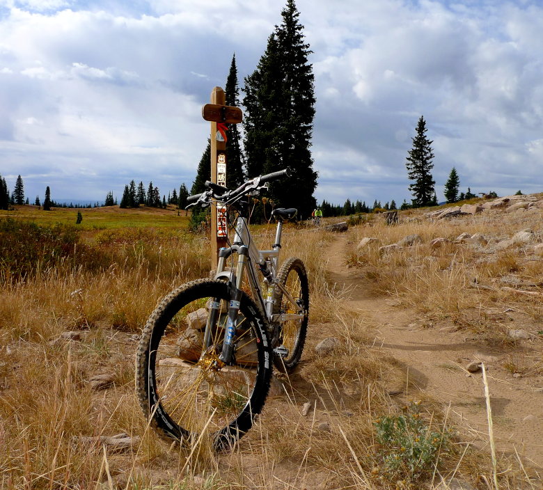
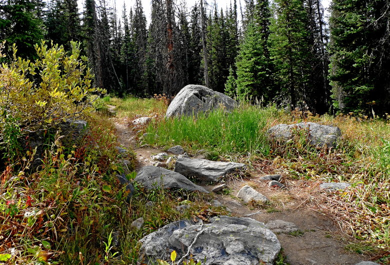

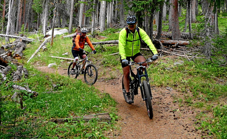
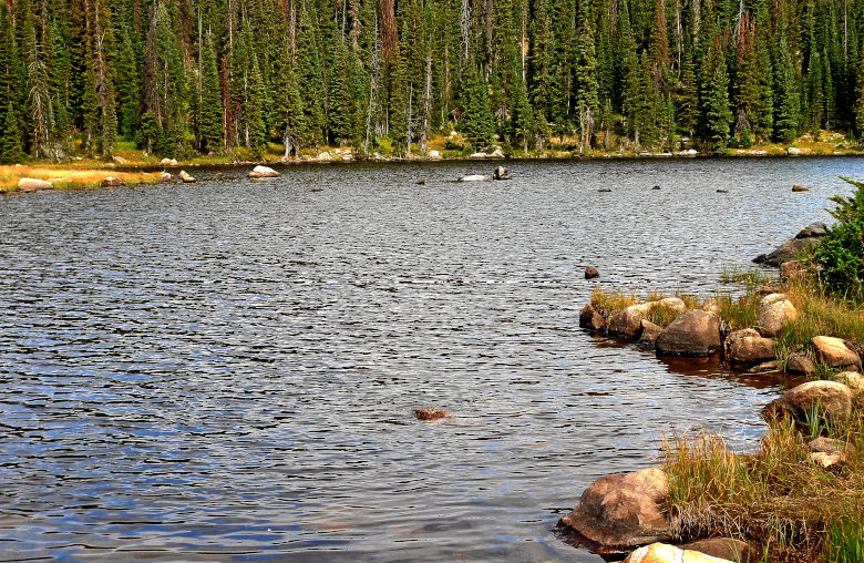
With every turn, the ubiquitous beautiful lake was there to entice us forward.
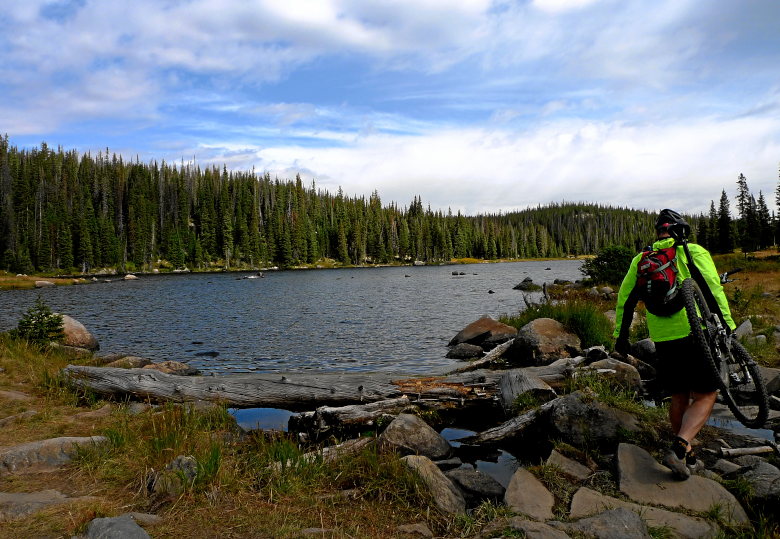
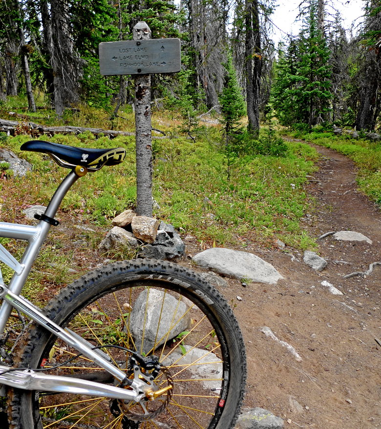
This trail marker freaks me out.
And more lakes.
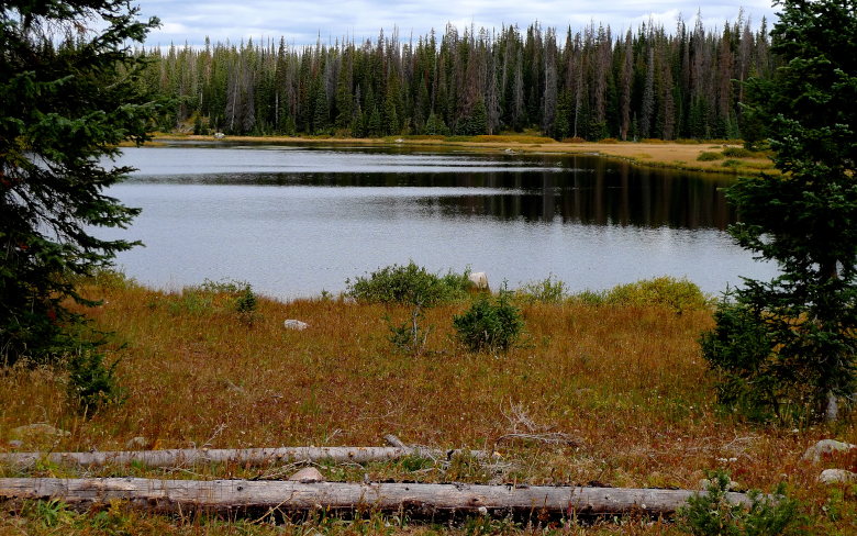
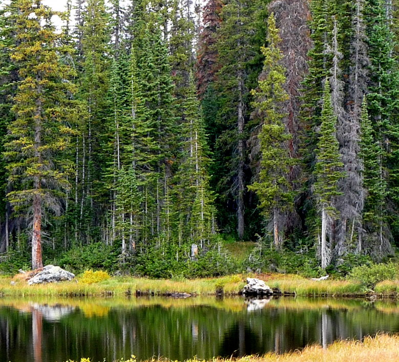
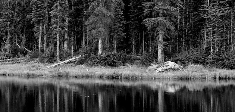
We just continue to move through the forest. Each trail piece better than the next.
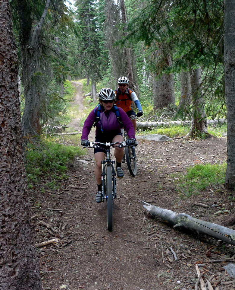
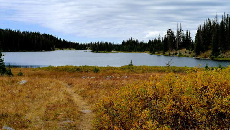
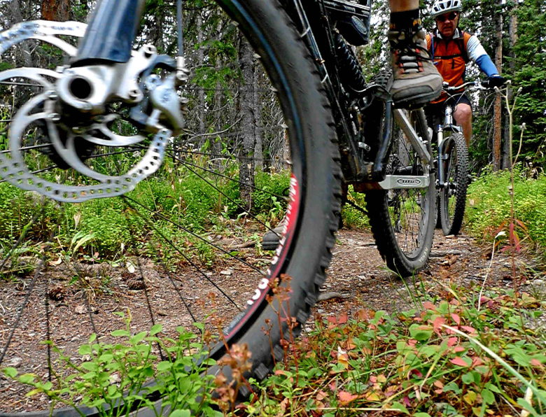
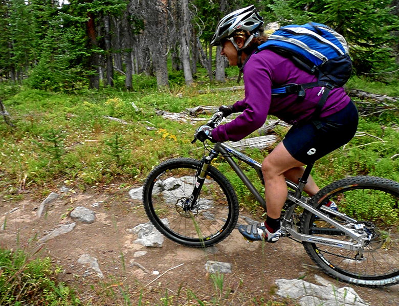
Only to come upon more views. These things should be outlawed!
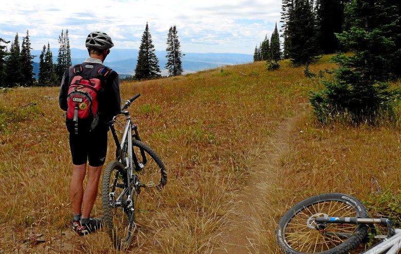
Making it to the top of the ski area gave us a whole new perspective of trails. That perspective was down. An incredible mix of easy, medium, and hard drives. Lot’s of little features to drop off of and berms to fly around the corners.
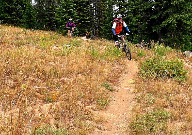
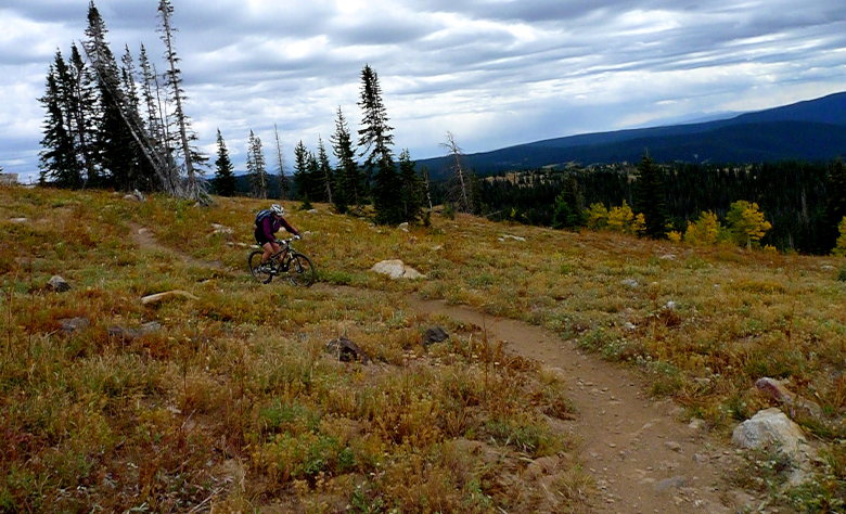
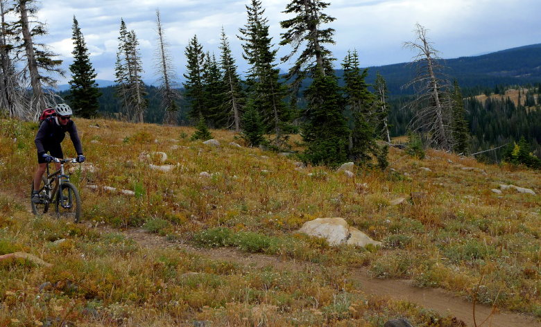
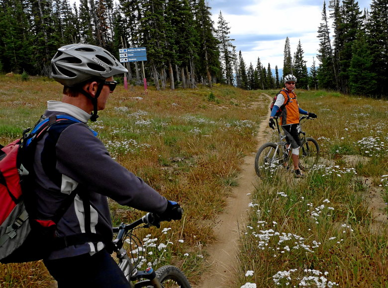
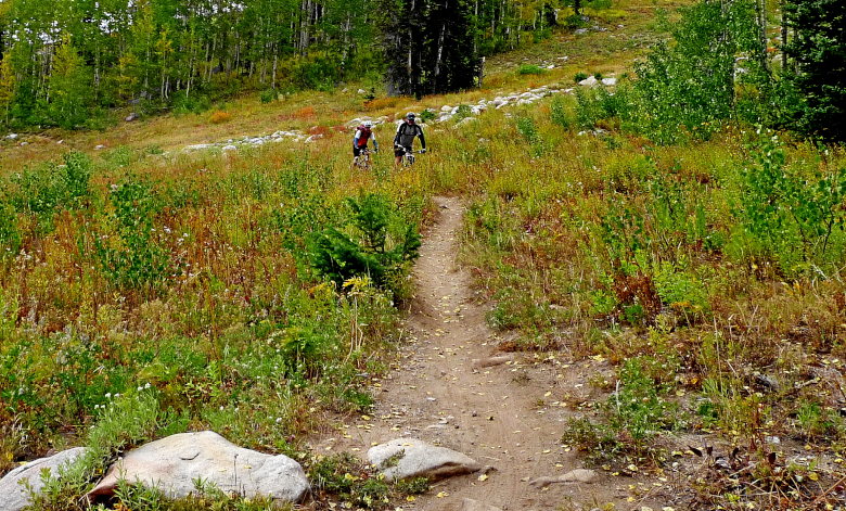
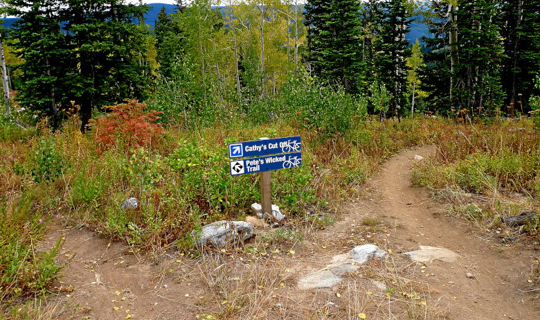
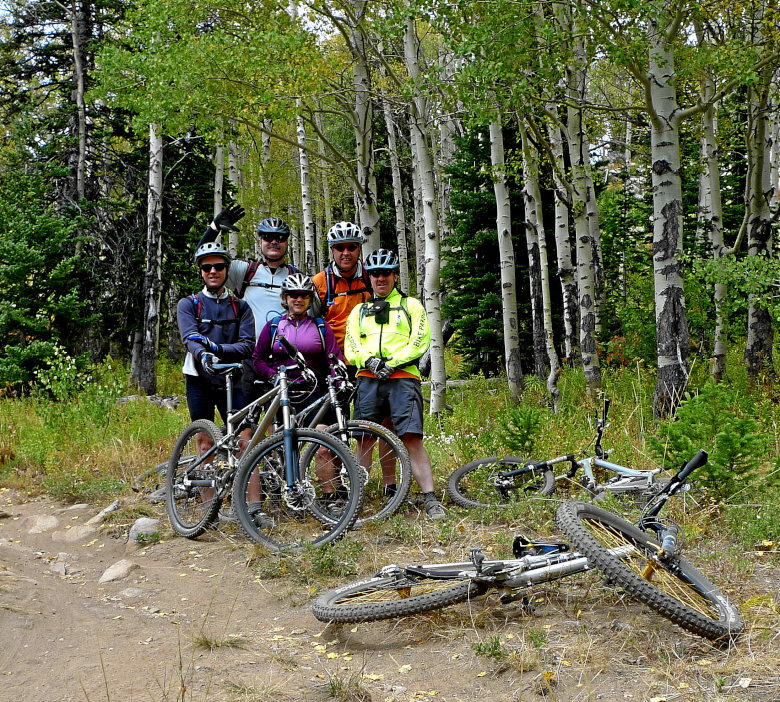
We catch a minute from the fun for a group shot.
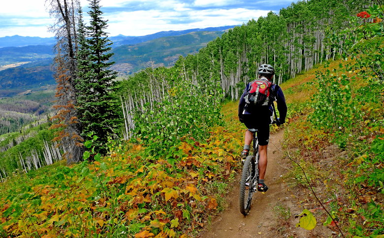
Is there anything more incredible than riding through a palate of nature’s colors?
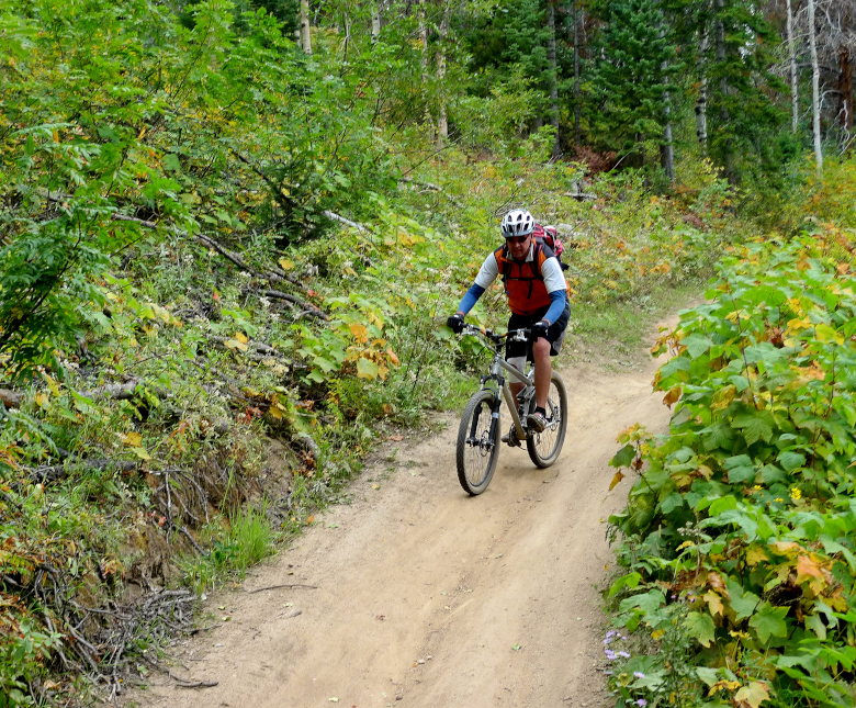
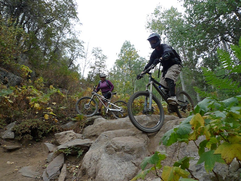
We then finish up by testing our skill on the downhill trails.

We made it back to condo, cleaned up, drank beer, watched football and ate steaks. What else could anyone need.
On Sunday we were joined by a local who would show use the town trails. We knew we were in for something since it didn’t involve a shuttle.
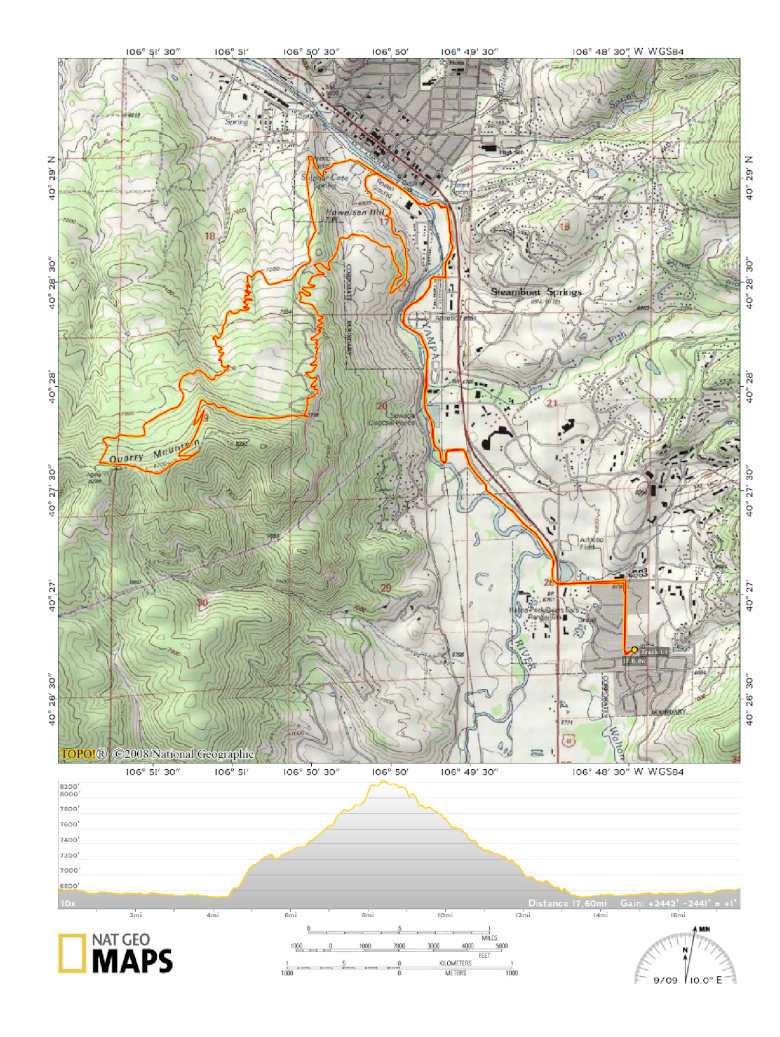
We made our way to Howelsen Hill. Ski jumps! That’s it, we’ll ride our bikes down ski jumps.
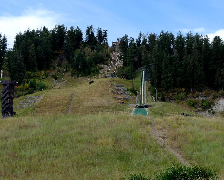
Ok, maybe not going down it, but we would certainly be riding up the backside of it. This was steeper than most front range climbs.
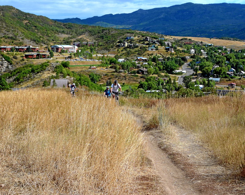
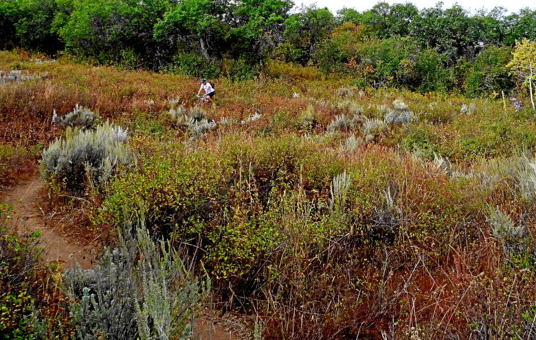
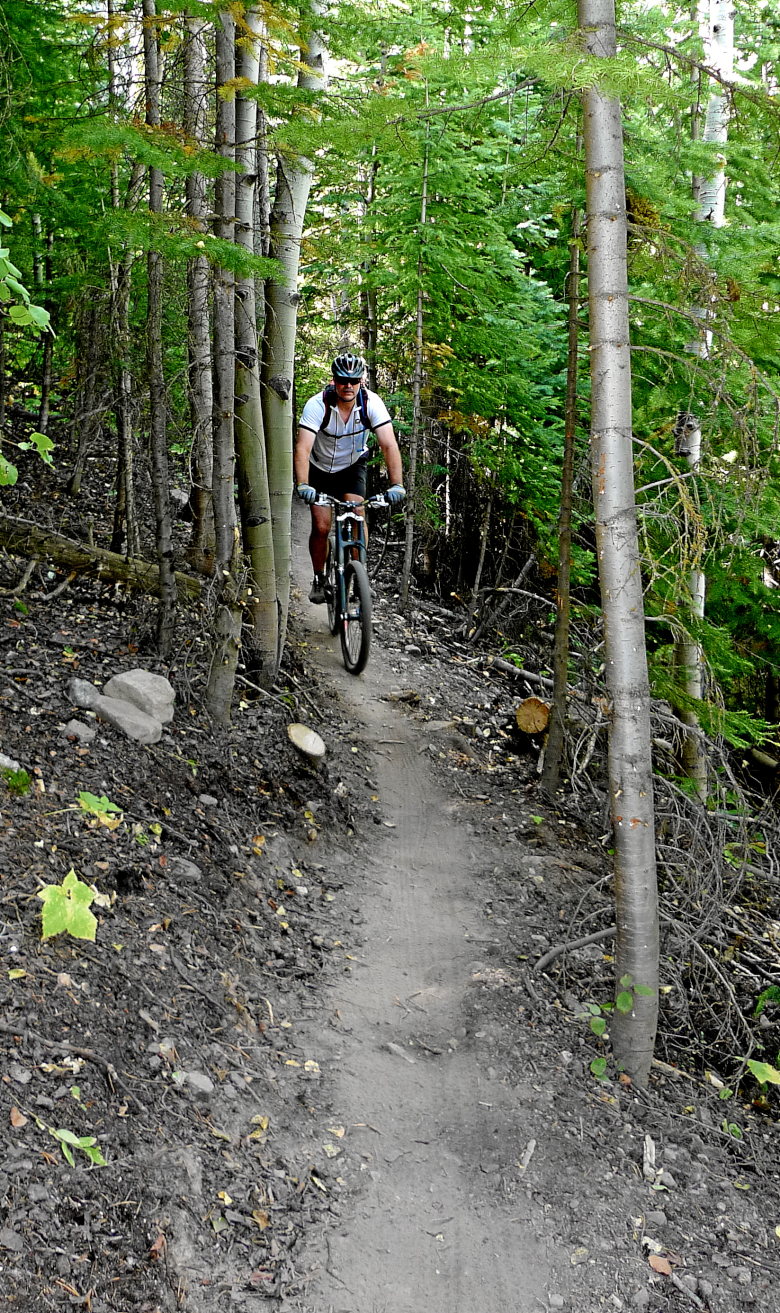
However, there were surprisingly beautiful pieces of singletrack trail meandering through meadows and forests. Some if it was very skinny.
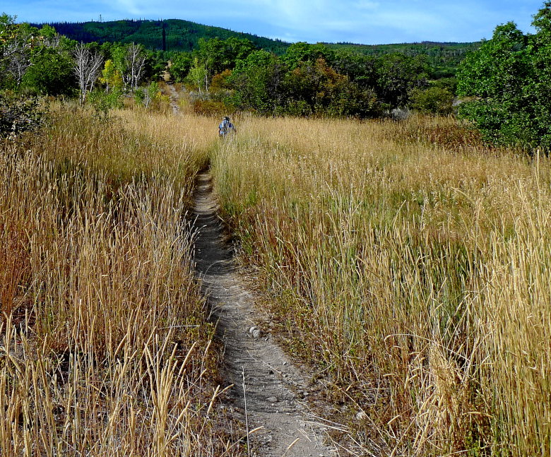
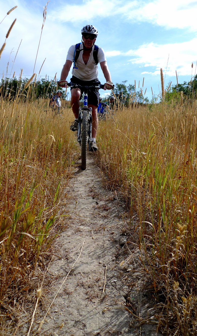
While not overly technical, there were some things to play on.
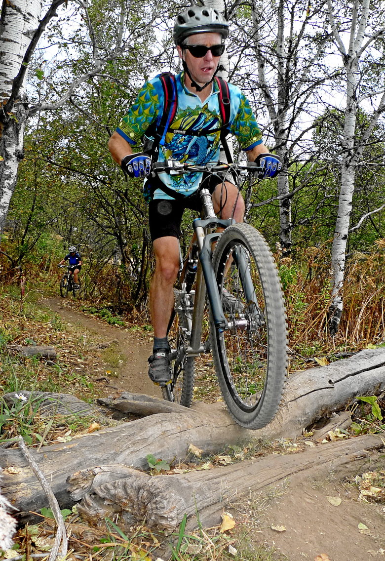
Proof that I can still ride a log-over.
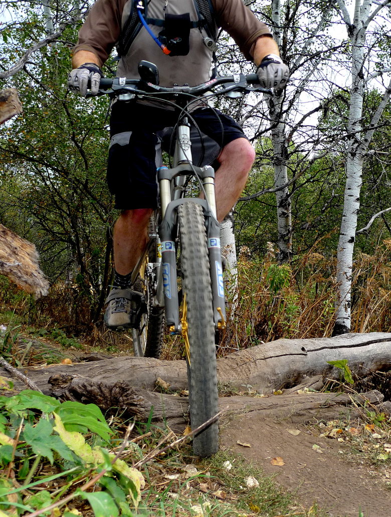
There was a great variety of trails and they were very popular with the locals. While we hardly saw anyone the day before, these trails were a little too crowded.
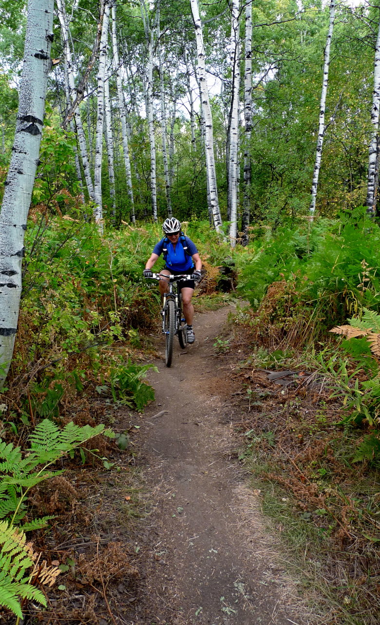
One thing that surprised me were the abundance of large ferns. Definitely not what I was expecting to find in a high desert climate. I am guessing the hot springs (which you can smell very strongly in the rising steam from cracks in the rocks) gave just the right heat and humidity to help them grow.
It turned out to be a beautiful day with a good amount of riding and more vertical than the longer day before.

Special thanks to Lindsey for showing us around.
Lake Tahoe
by Mitchell Sprinsky on Aug.30, 2009, under Uncategorized
I arrived in Reno early Friday afternoon after a faulty landing gear sensor had delayed the flight by almost two hours. The bike had already arrived at the hotel a few days back, but my bigger concern was just getting there. I scrambled all over DIA making alternate arrangements and then two minutes later the plane was fixed.
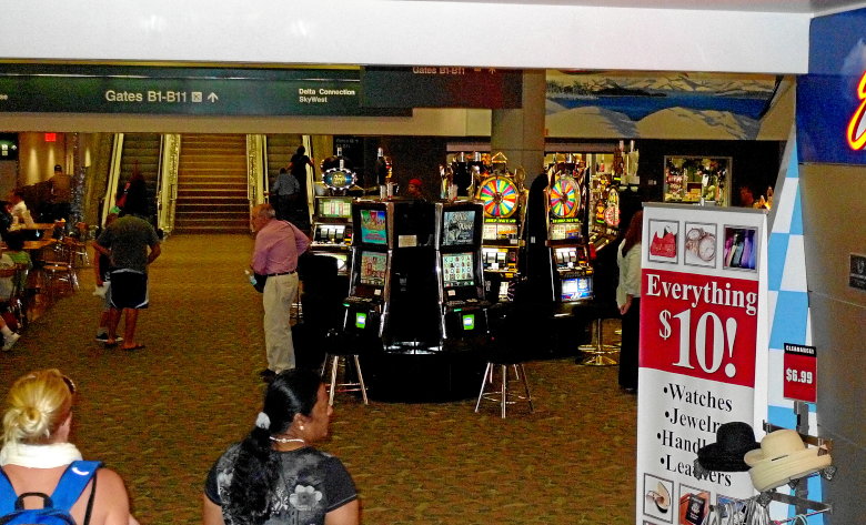
Jeff was already waiting down in the baggage claim after flying in from NJ. Yeah, I was already in my frantic state, but that all cooled down once we were in the rental car and on the way.
We drove through Carson City, NV without blinking an eye.
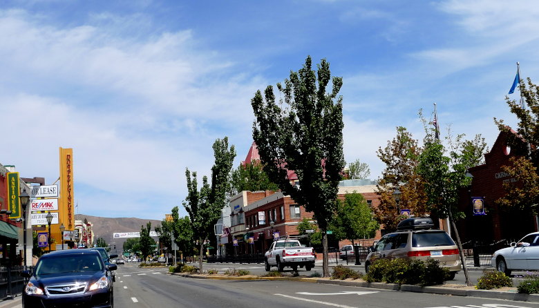
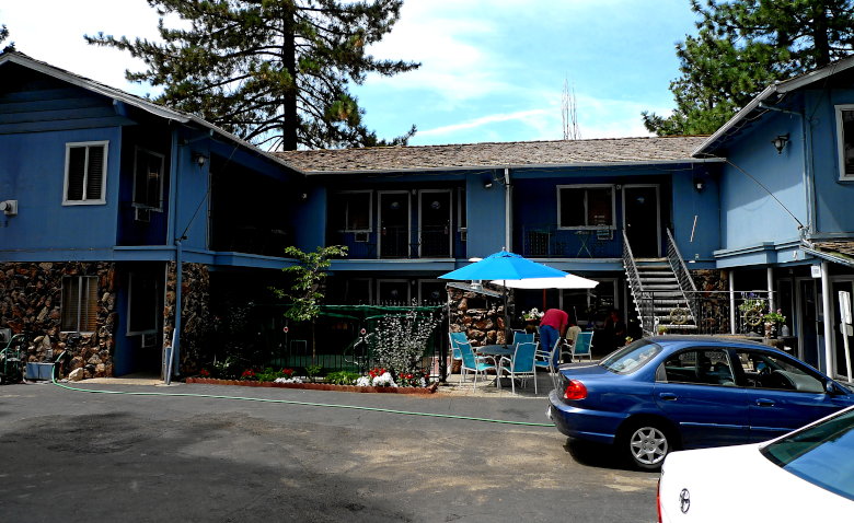
It was still early afternoon when I pulled into what would be home for the next seven days. Sure it’s not the Taj Mahal, but it was cheap, the rooms were clean, and the owner was nice. The other benefit was that it wasn’t directly on Route 50, which I thought was a terrible shame in a resort area.
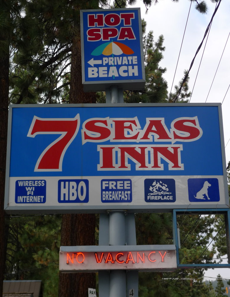
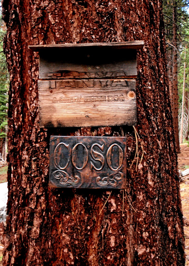
If you literally interpret the sign, I should have received a dog. That didn’t happen, though there were a few around the Inn.
We met cliff and Billy, who were staying in the same hotel. Cliff had a tricked out singlespeed that I gawked at for a while. The carbon fiber kickstand certainly added to the uniqueness.
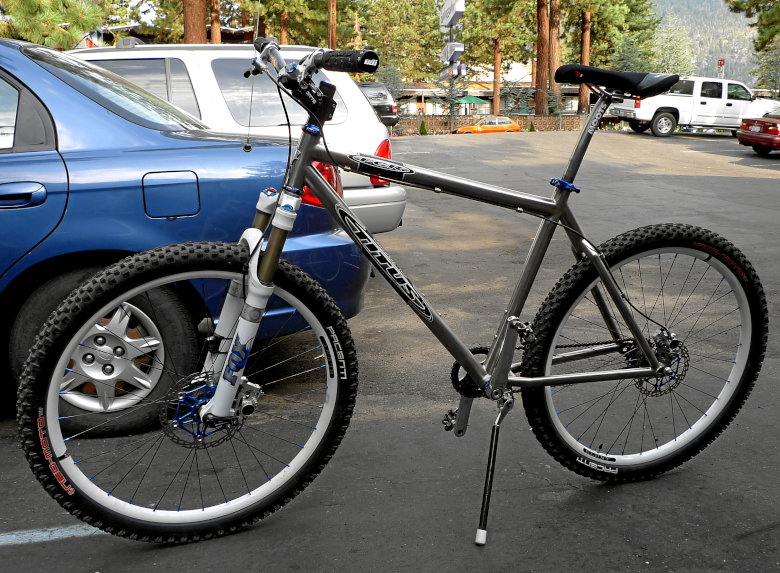
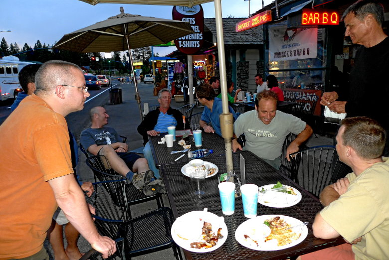
I built up my bike and then it was onto dinner at Womacks BBQ to meet up with a bunch of the group.
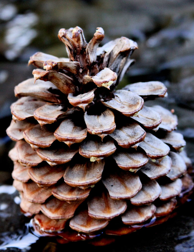
I woke up to rain on Sunday morning. The 9:00 AM start time past by, even though I was dressed and ready to ride. It looked like an hour by hour ride vigilance, so I occupied myself with pine cones.
As the afternoon arrives, the weather breaks, things dry up, and we are on our way for the first ride of the trip.
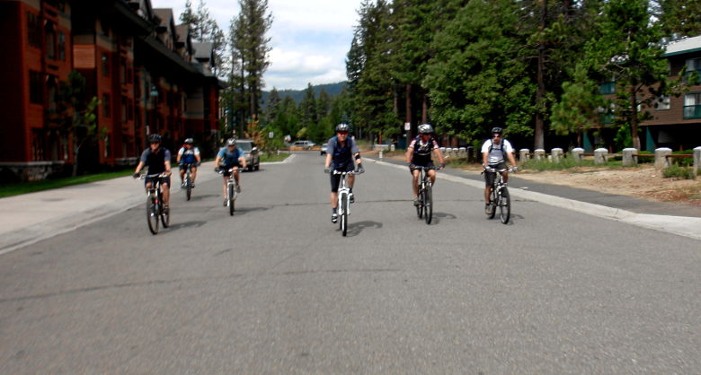
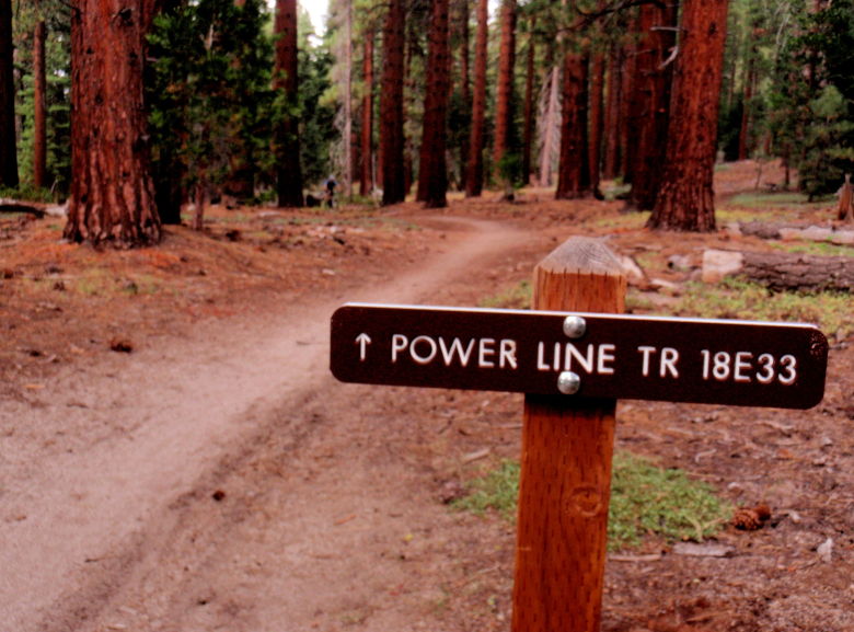
Up the road to one of the lifts and onto the Powerline trail. The idea was to get acclimated to the altitude. Acclimated? WTF, I live at that altitude. LOL!
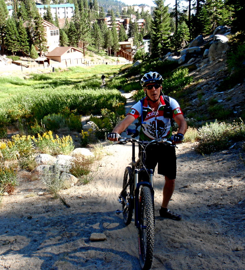
Our group had guys from San Diego, Los Angeles, San Francisco, Portland OR, NJ, Edmonton Canada, Mexico City, and myself (Golden, CO). So, two of us already had the altitude adjustment. That doesn’t matter anyway since I always seem to ride in the middle of the pack.
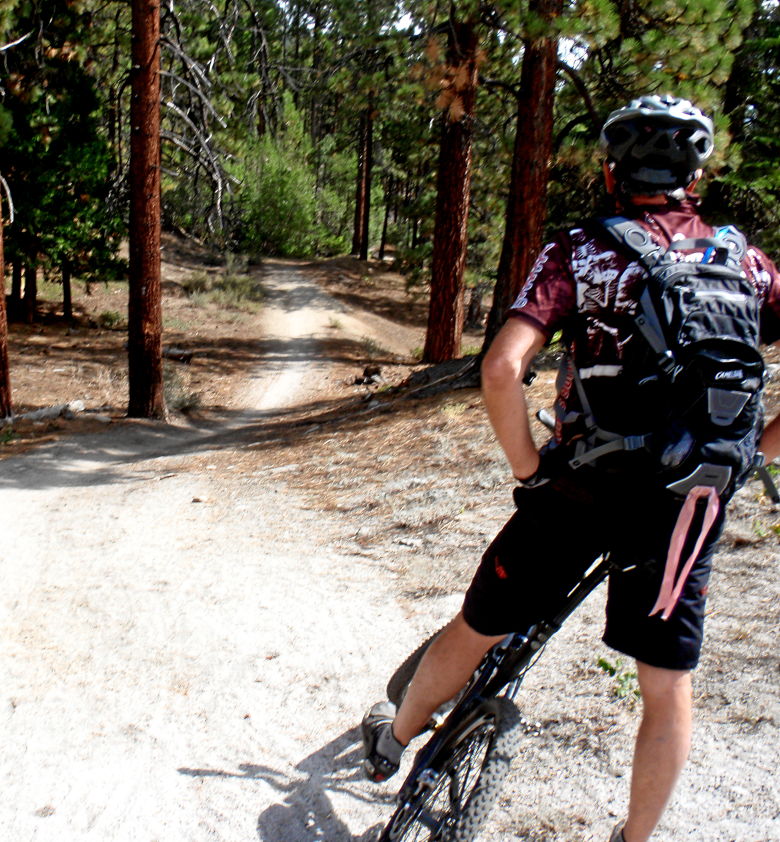
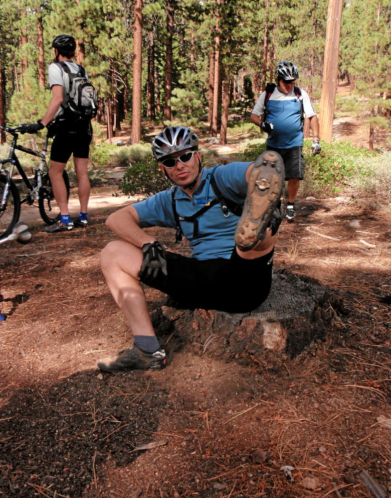
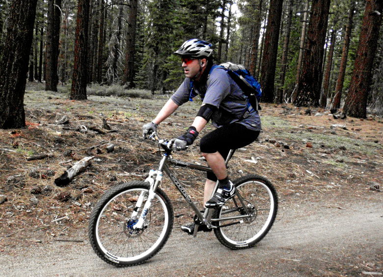
This tree seem to be a popular resting spot.
Looks like Jeff was trying to fill his Joisey lungs.
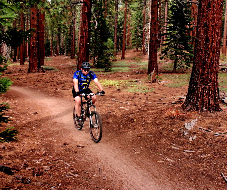
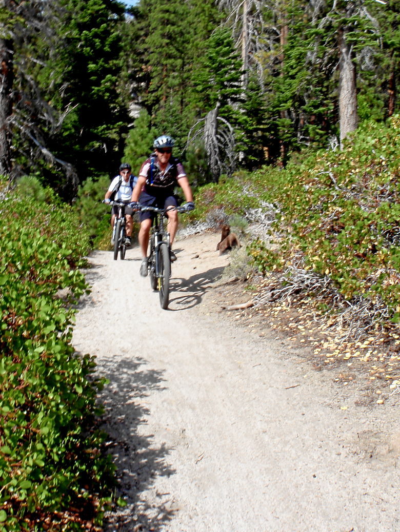
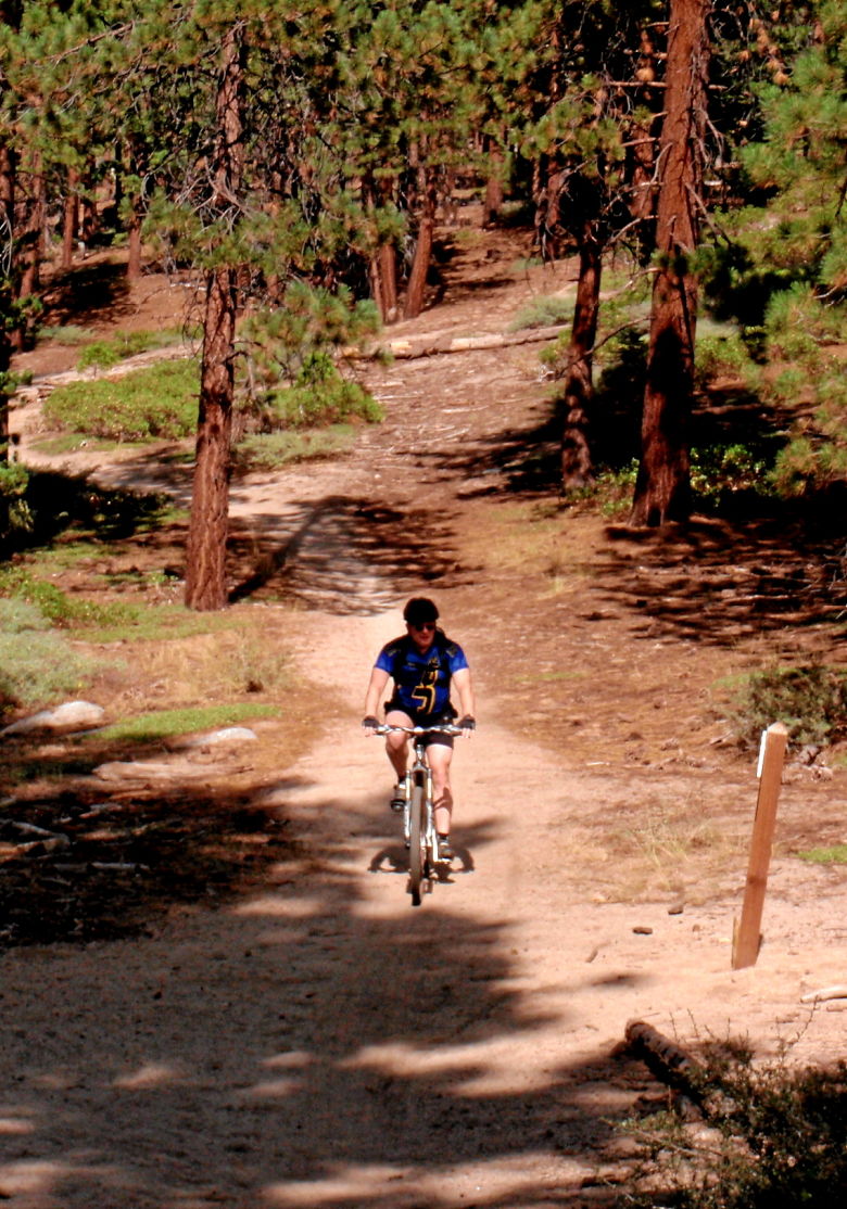
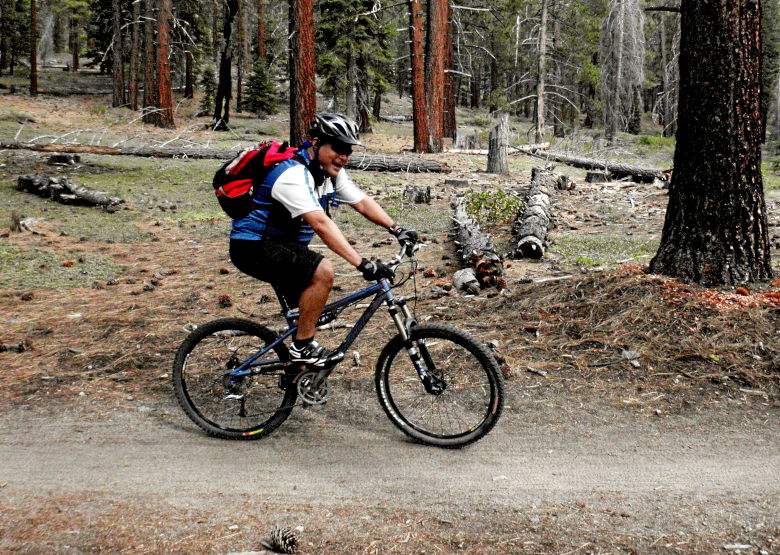
A happy group getting a feel for the local singletrack.
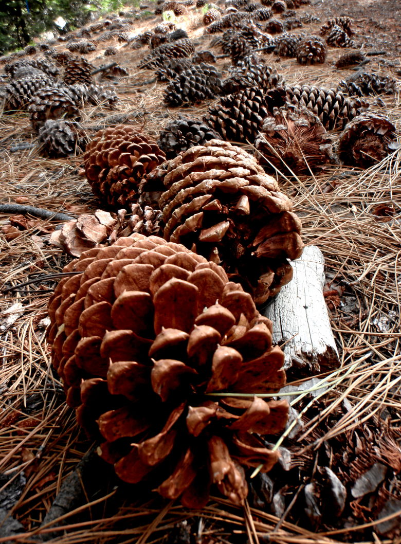
While I continued my infatuation with pine cones.
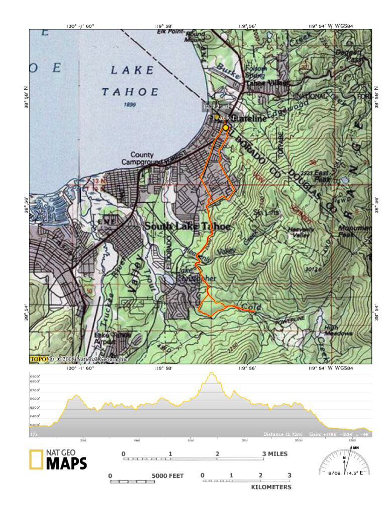
Monday’s ride is brought to you by… The Flume!
If you tell someone you are going to Tahoe, there are two trails that always seem to get mentioned.
The Flume is an agoraphobic’s nightmare, but first you have to get there.

We also dispense with the formalities of the ubiquitous group shot.
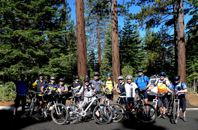
The it’s a long ways up from Spooner Lake.
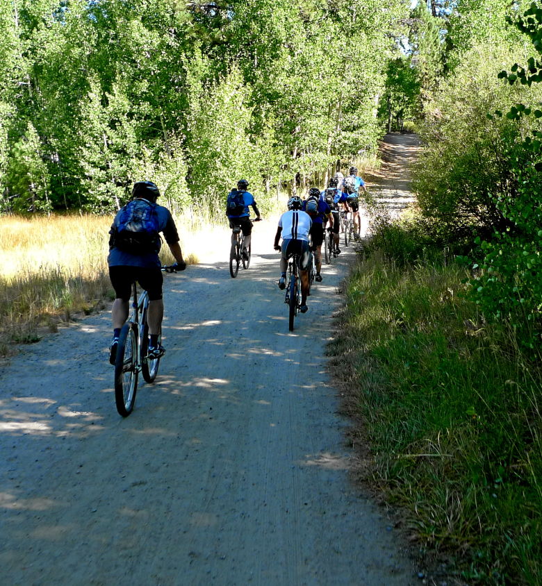
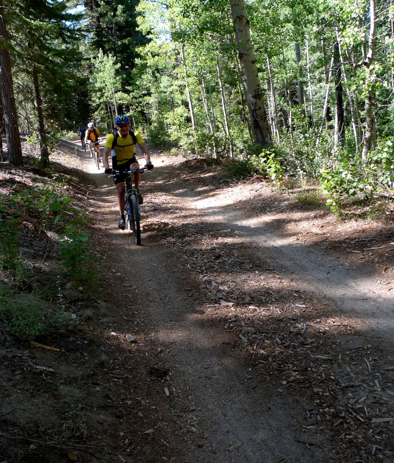
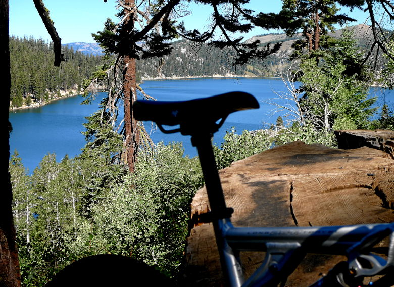
We arrive at Marlett Lake and the start (or end) of the Flume trail,
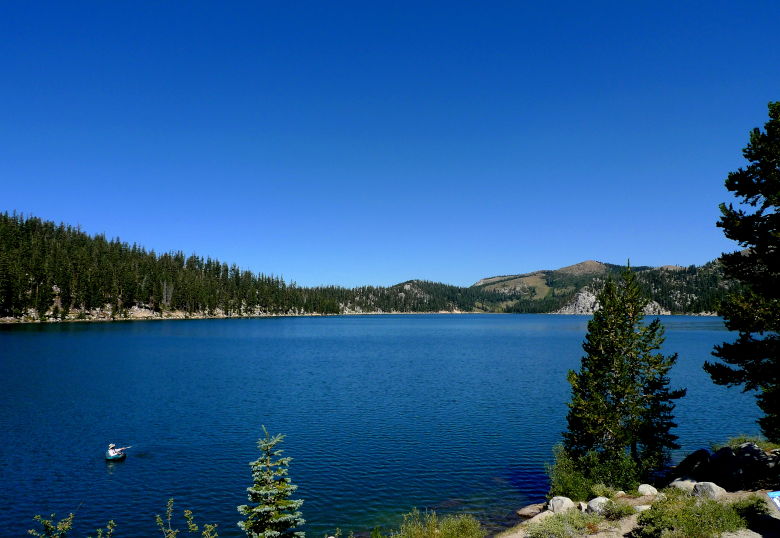
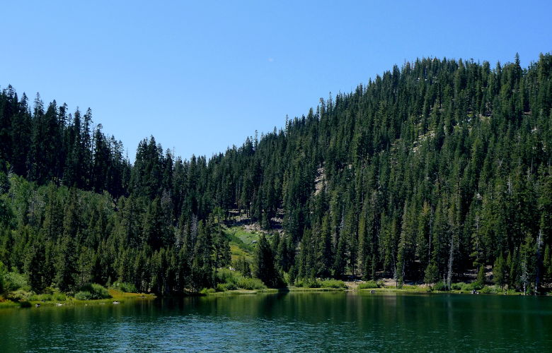
We wait for the whole group to arrive. Josh catches some air time.
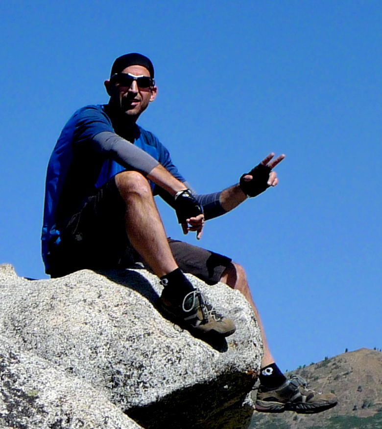
Depending upon who’s version of uphill/downhill you believe, we start the trail on the high side (we went clockwise).
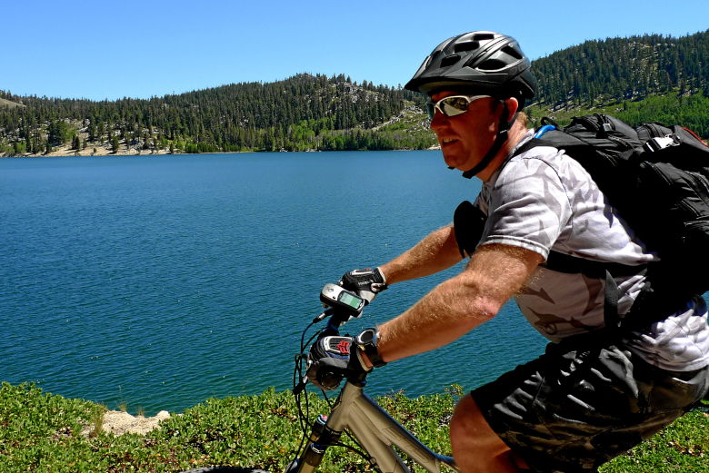
Mauricio takes a queue from me and snaps a picture while riding. Damn, my arms are hairy!
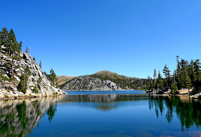
Marlett seems to be one of those lakes that are beautiful from any side you view it.
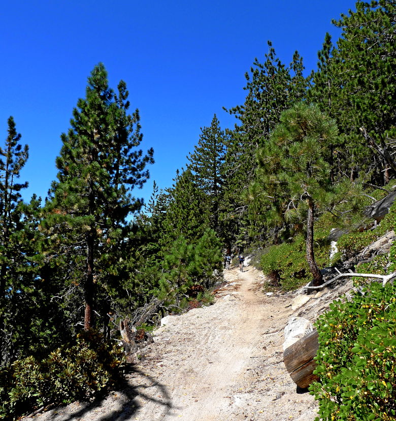
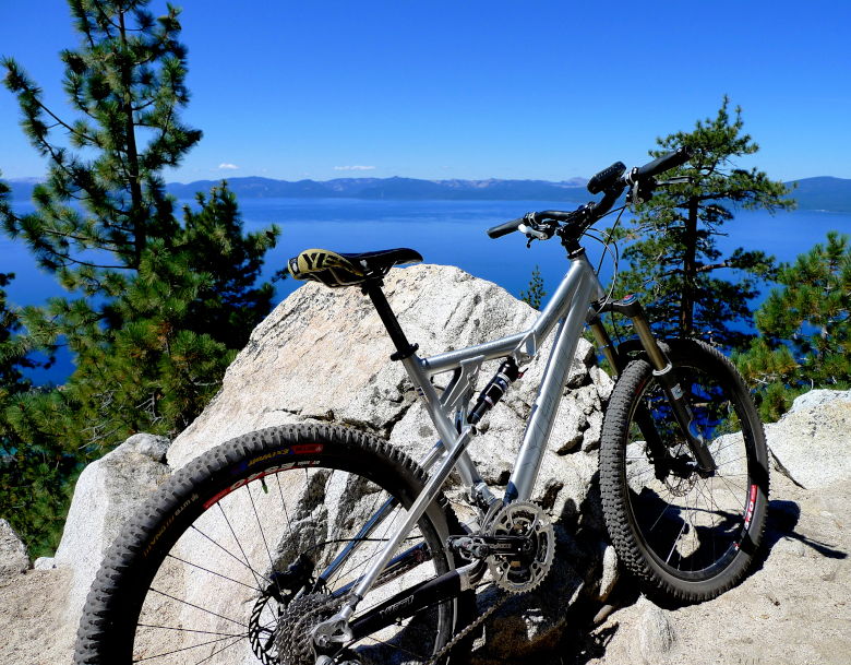
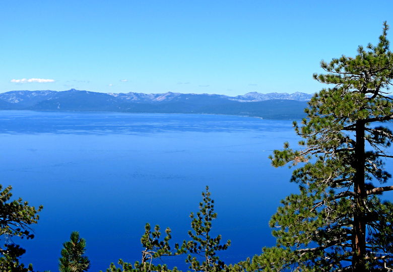
So what makes the Flume trail so difficult? It may have been more technical in the past, but there are definitely signs of sanitization. It’s original use was to carry logs (log flume) slowly downhill. I think it was probably a wooden structure built on top of the trail, and then it was to serve as a pipeline (some of the aluminum pipes have been removed from the ground since the project never materialized – remnants of which line the trail. I thought they were being used to keep the sand back). Now it is a very smooth trail. However, most of it skirts along the side of the mountain with 1000′ drops on one side over looking Lake Tahoe and a wall on the other. As someone who doesn’t do well with exposure, it gave me more trouble than some of the "wilder" rides in Tahoe.

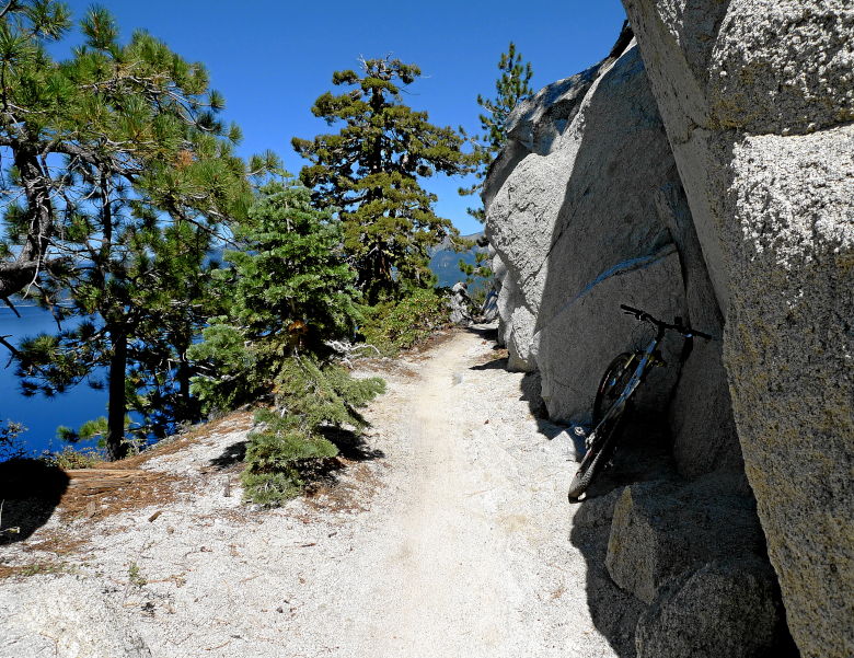
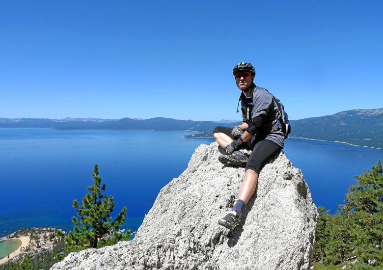
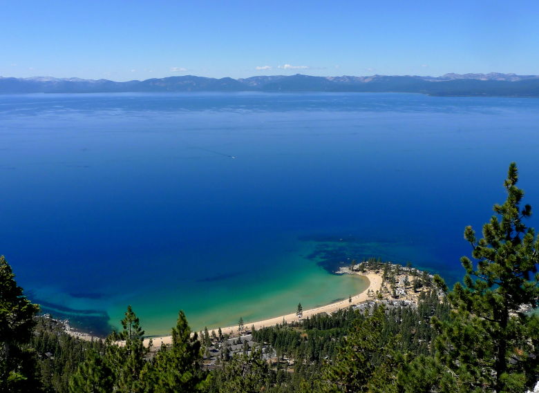
Cliff on a cliff overlooking Crescent Beach.
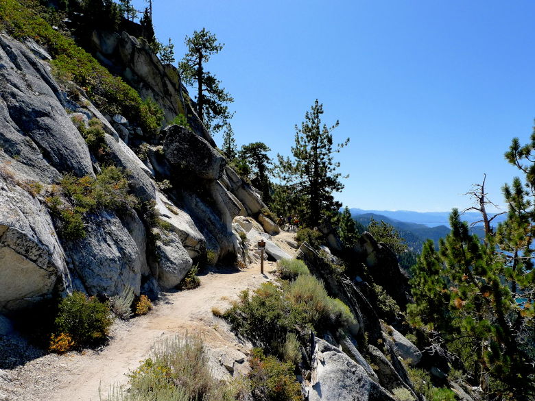
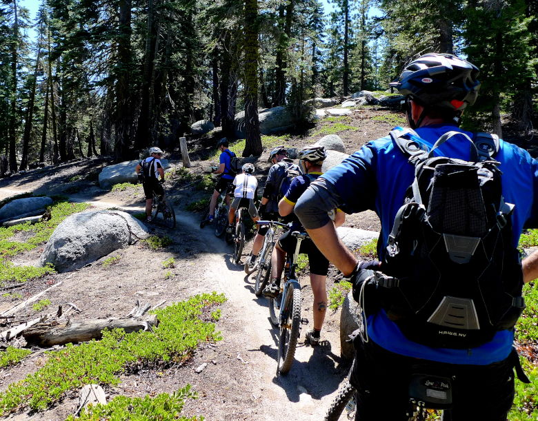
This section in particular seemed to prove a bit of a problem for the group.
We make our way over to the Tahoe Rim Trail. At that point the group splits in two. One that goes back on the Flume (no thank you) and the other climbing to the top and the other completing a loop around Marlett Lake.
Onto the climb.
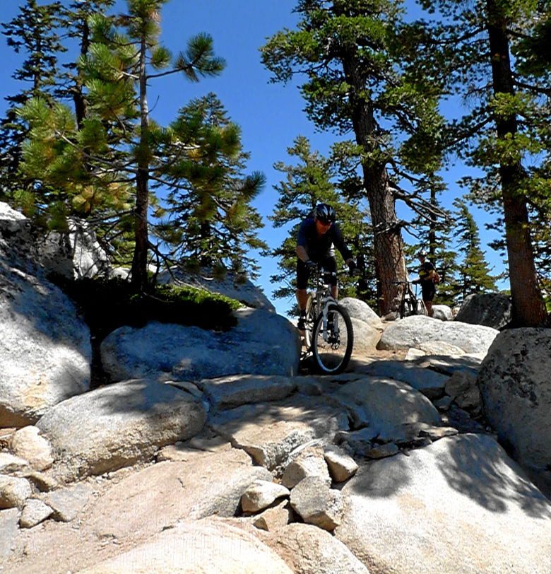
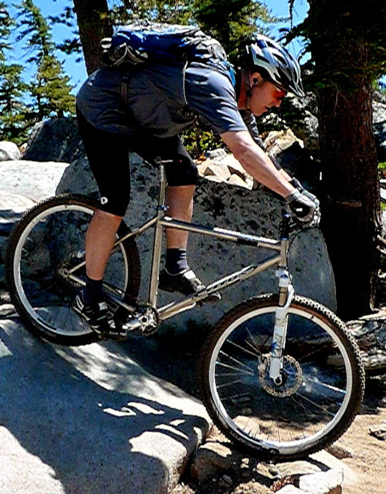
It offered a little more rock riding and views as well.
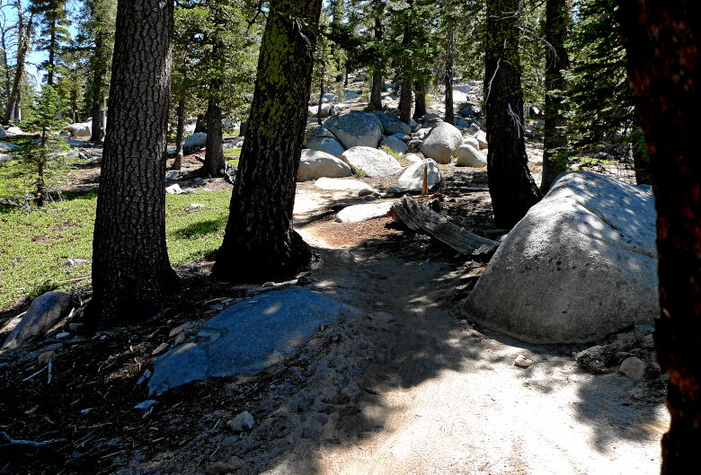
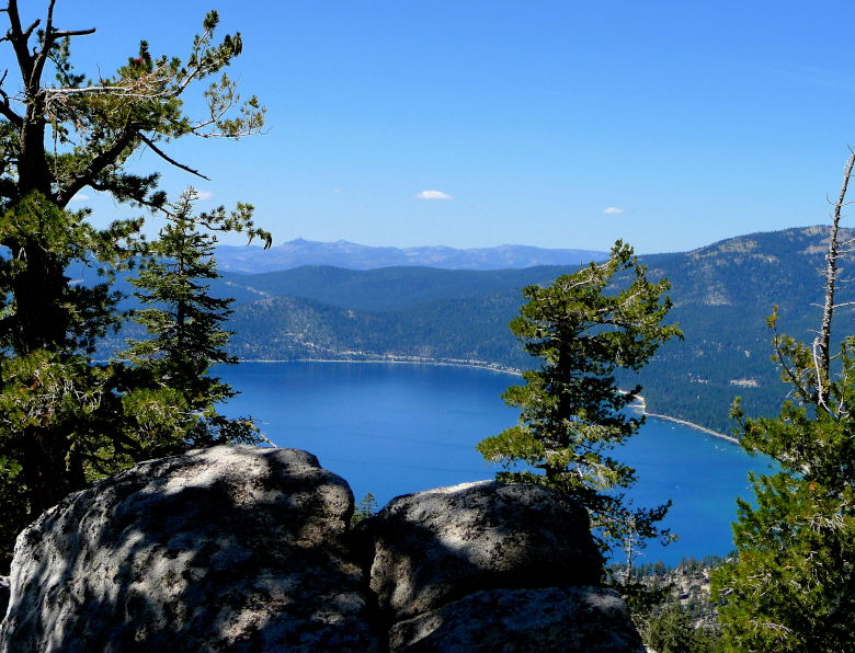
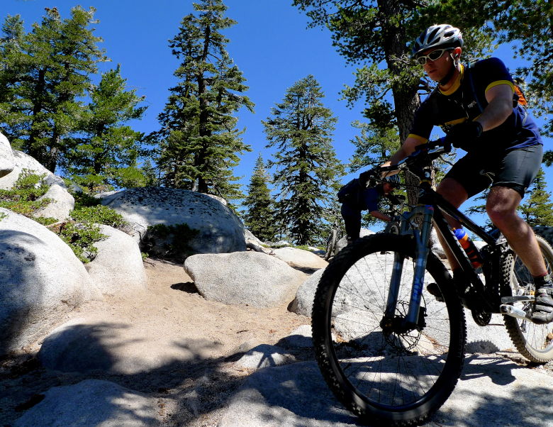
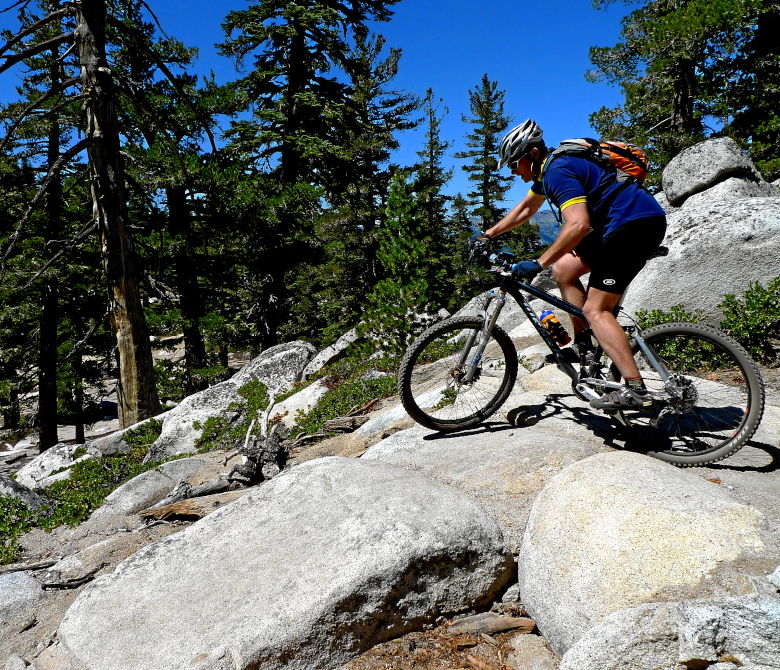
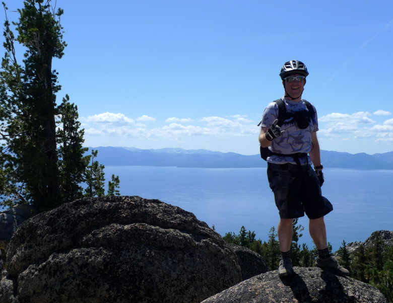
I got pretty high!
At this point there is more dissension in the ranks with everyone but me wanting to reverse course. Nope, I came to do the loop and that’s what I’m going to do. So, with just some verbal directions and no map, I head off on the TRT.
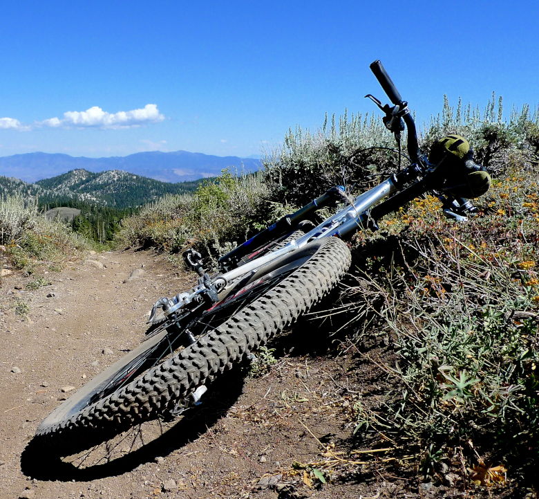
Of course, I ended up getting lost looking for Hobart Road. After climbing back up from a valley I descended into, I make it to the campground and find a host who tells me I am nowhere near Hobart. Not much help there and even the map at the campground is confusing. I pick up the TRT again which crosses a doubletrack. This thing is steep, sandy, and a long way down. I already ran out of water once (found some stashed in the campground and refilled). If I go down there, it better be the right way. With Marlett on my right, I can’t think of any other way to go and yes, it was correct. Back down to Spooner lake and I meet up with the first group split. I thought the others would be back before me, and we wait quite a while before they return.
Alvin agreed it was a very fun day.
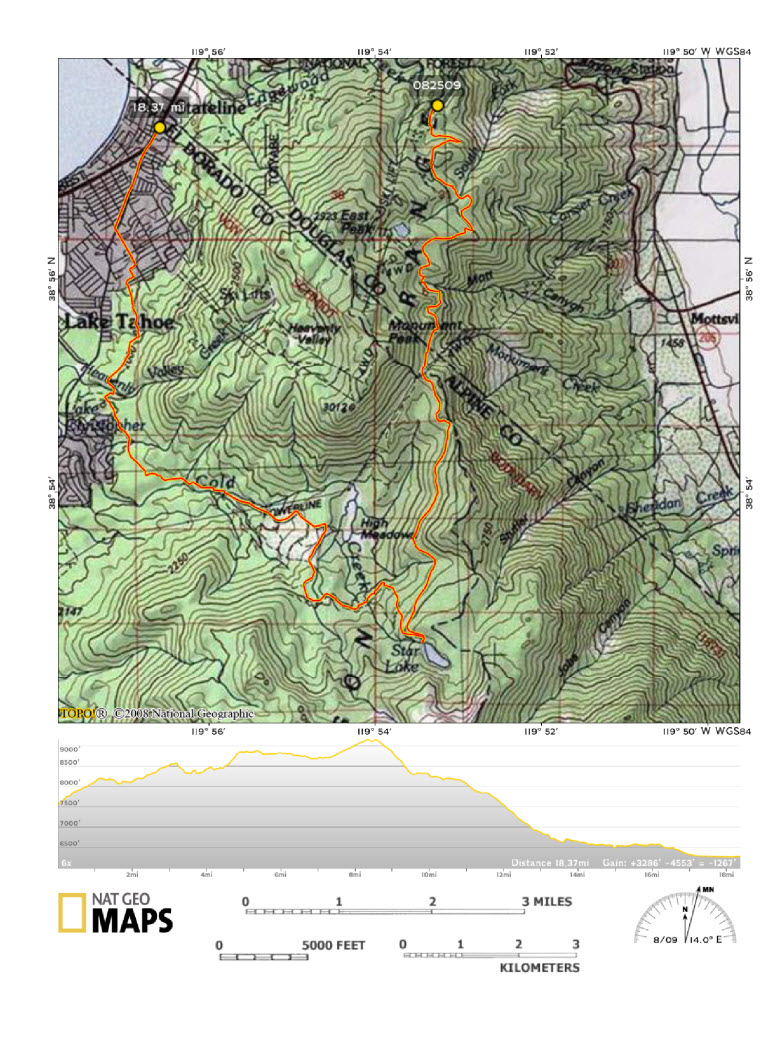
Tuesday arrives with more sunshine and another part of the Tahoe Rim Trail. This time our destination was Star Lake. We’d decide at that point how to get down.
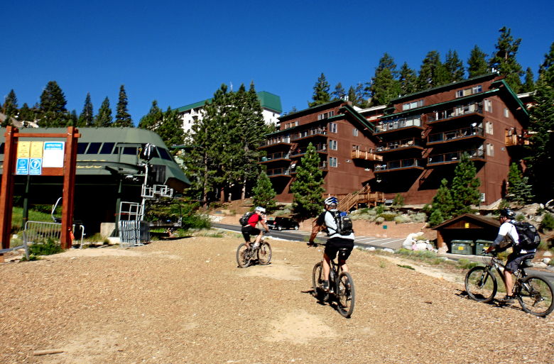
Note, ski runs are for going downhill! I think Chip would agree with this.
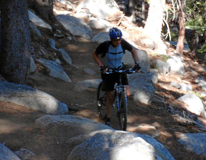
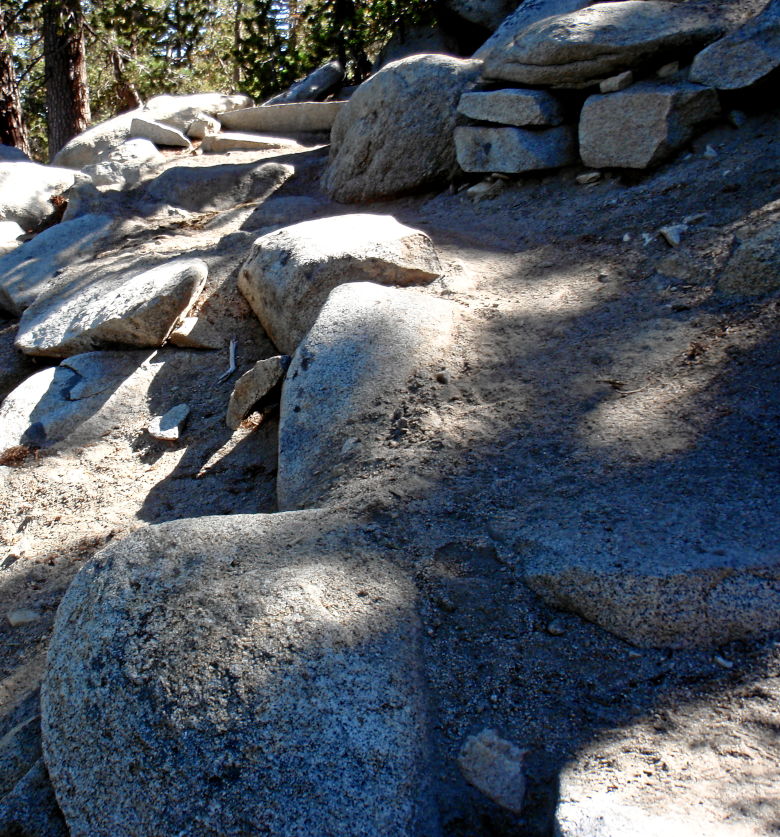
The climb up to the TRT had some good rocky fun.
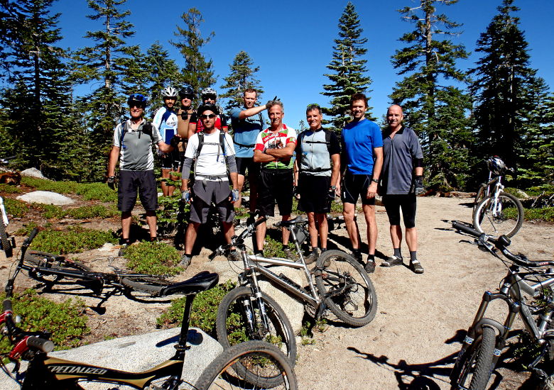
We were missing a few people in this pic and I can’t remember where they were.
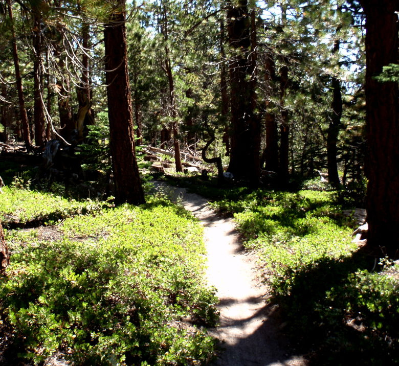
The uphill slog continues on a very nice piece of trail.
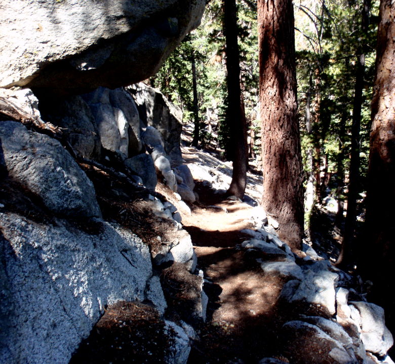
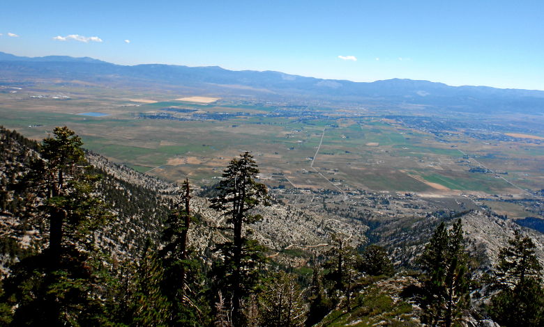
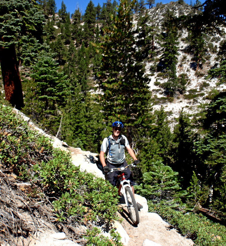
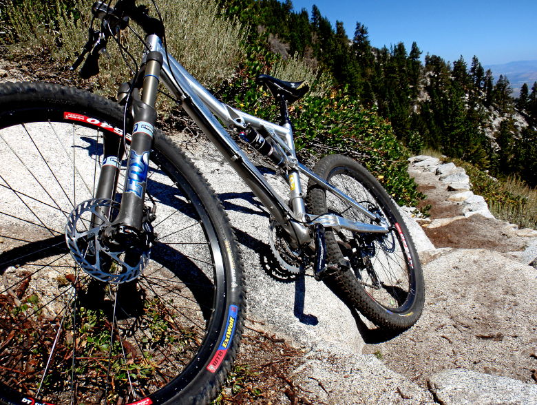
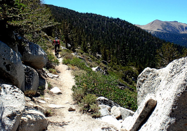
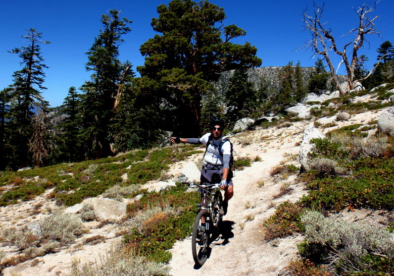
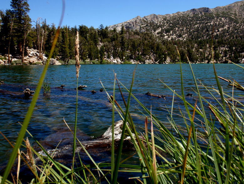
We reach Star Lake!
Lucky for us, we meet up with a local resident. Darla seemed to charm these savage beasts. She was also very helpful on the trail beta. The group split in two at this point with half going up to Armstrong Pass and taking Corral and Sidewinder down. I was in the other group that opted for Cold Creek downhill. I have no pictures of that since I was too busy holding on from the loose rocky slide down.
Wednesday was not my best day. What was going to be some more downhill fun on the TRT ended in a mechanical within fifty yards of the start. I bunny hopped a little short over a rock water bar. I knew it was bad as soon as I heard the hit. Pssssssss….. Pinch flat. That would have been ok. I dented the rim so bad the tire would not seat.
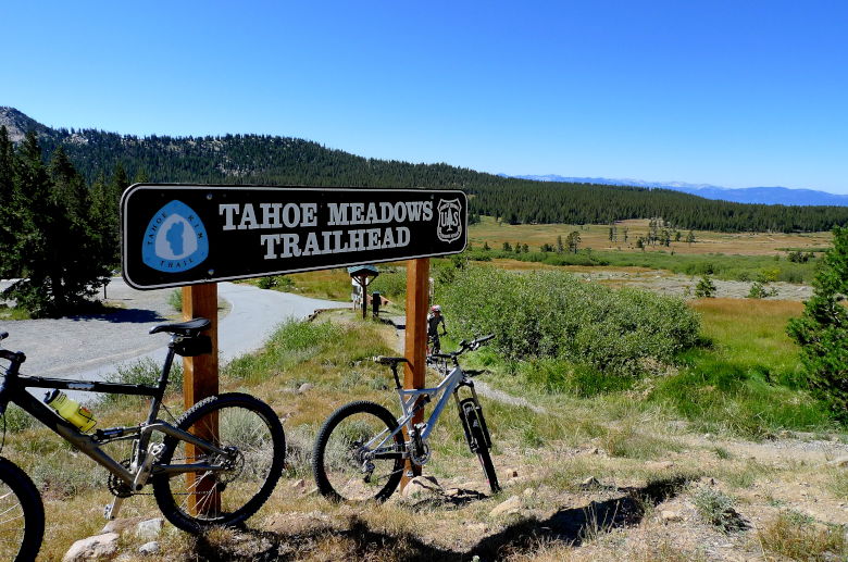
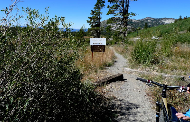
Determined not to have this be my last day of riding, I took the keys to one of the cars and found a bike shop in Incline Village. Within 10 minutes they had me up and riding again. Kudos to the Ski Loft! Now they idea was to meet the group going in the opposite direction at Marlett Lake, before they head down Crescent Beach Trail. My choice (against every recommendation from the bike shop was to climb up Crescent Beach Trail. Sheesh, how bad could it be?
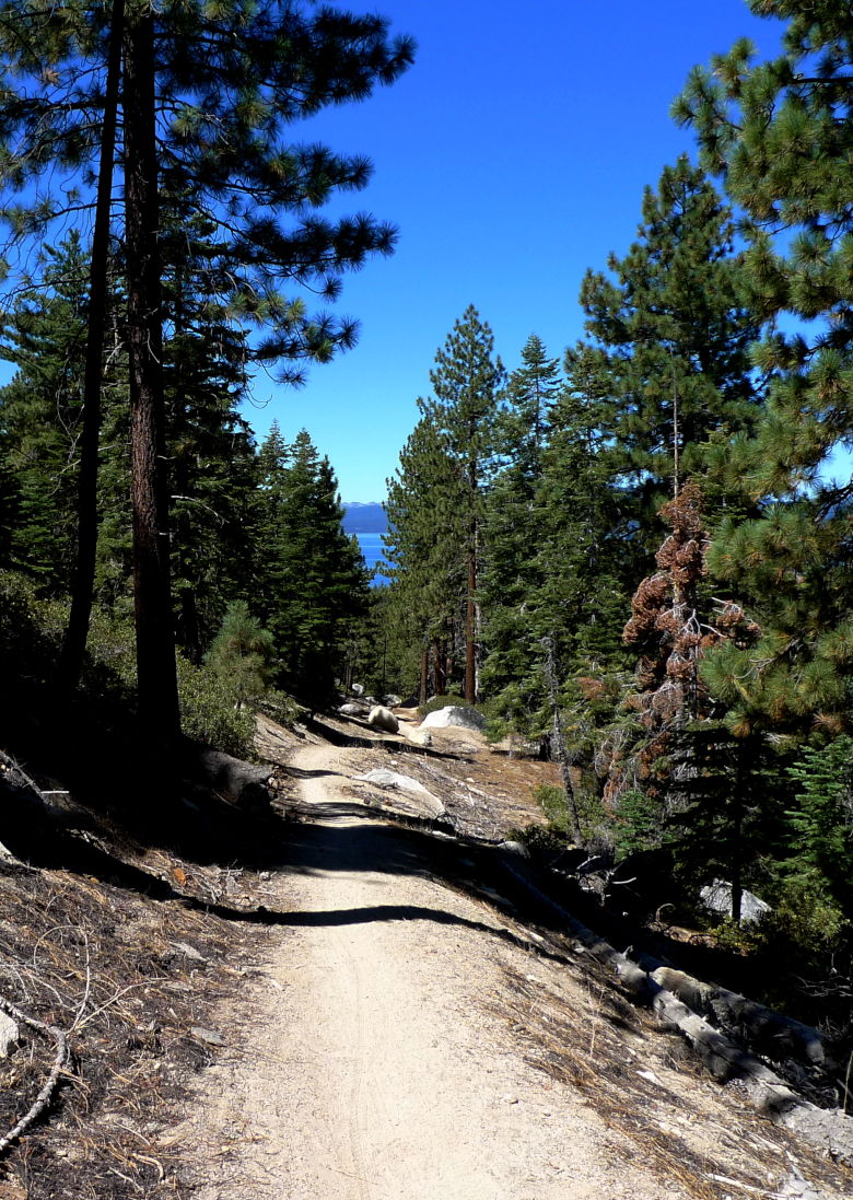
I think I walked about 10% going up and the rest was pretty rough. If it wasn’t steep, it was sandy. Really sandy!
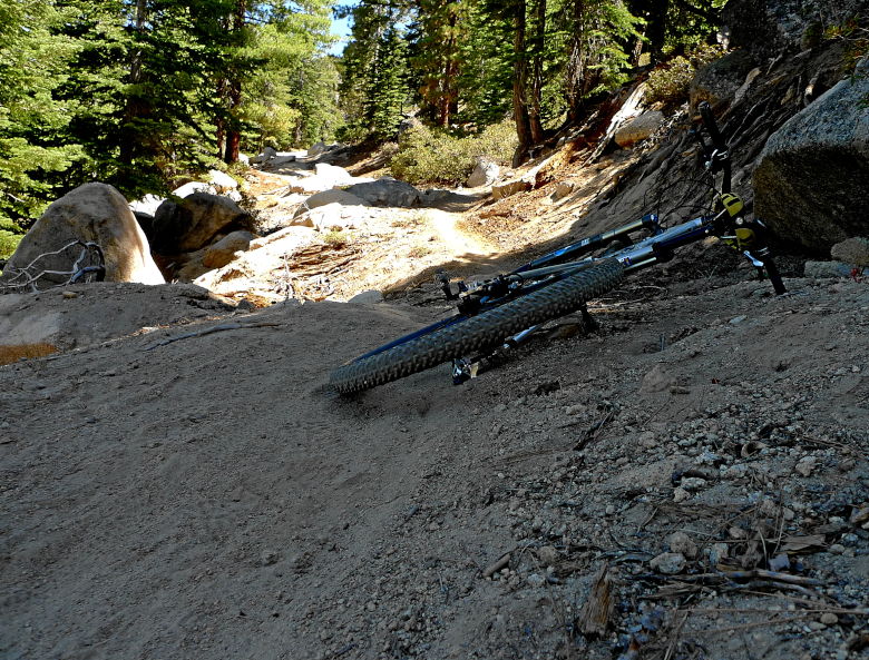
And some tunnels.
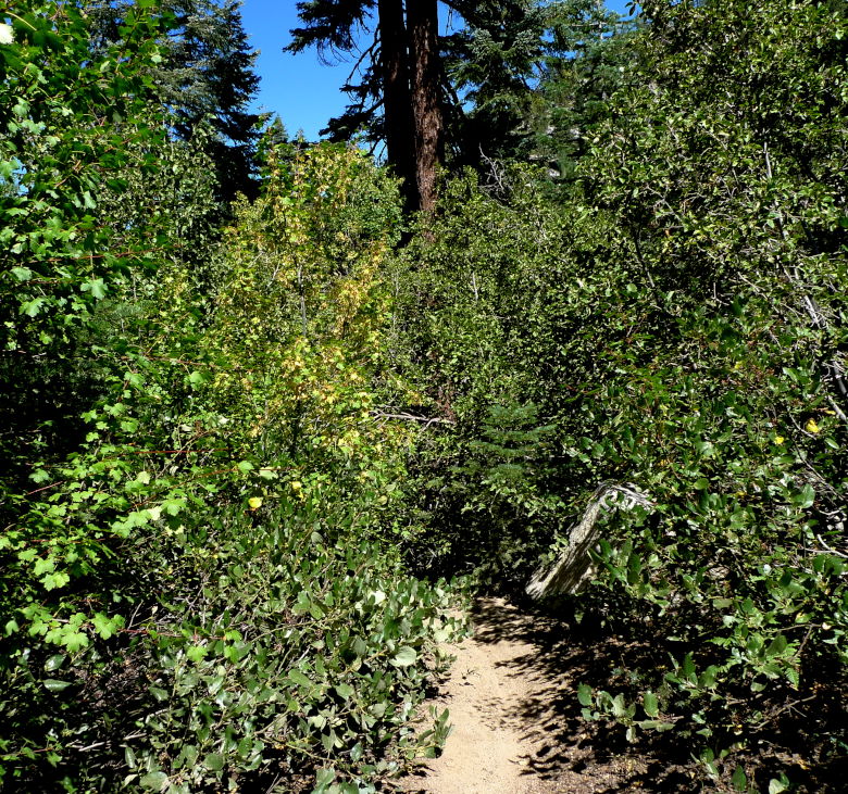
I stopped to get some bearings. It wasn’t helpful.
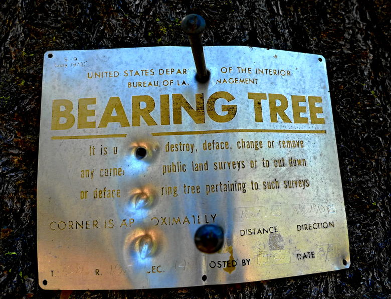
When I finally reached the top, I encountered the sign of no sign.
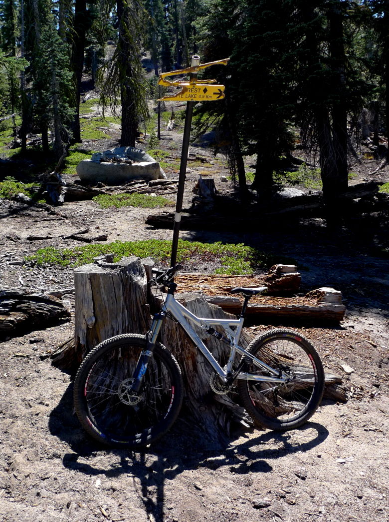
Lost again? The day had already been unlucky, but then something happened. Right there in the middle of a trail was a map just laying in a clearing. How did it get there? Was someone watching over me? I was able to find my way down to the lake. Yet again we split into two groups. A group of us head down the beach trail while the rest coast down Spooner. If I had to climb it, I was certainly going to ride down it.
Thursday brings my last day of riding because I had to pack and ship the bike on Friday. I guess we saved the best for last. The other trail that everyone mentions, Saxon Creek, aka Mr. Toad’s Wild Ride! Indeed, if you have every experienced the classic Disney ride, it does have the Mr. Toad’s characteristic.
Some of the group had opted out of this ride, but for the brave few remaining we shuttled as far as we could. Then climbed another sweet piece of the TRT to Armstrong Pass.
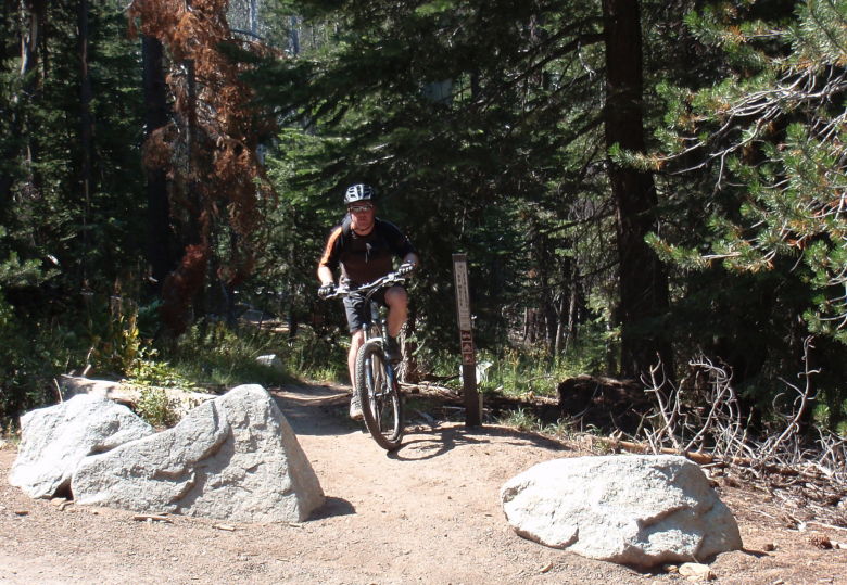
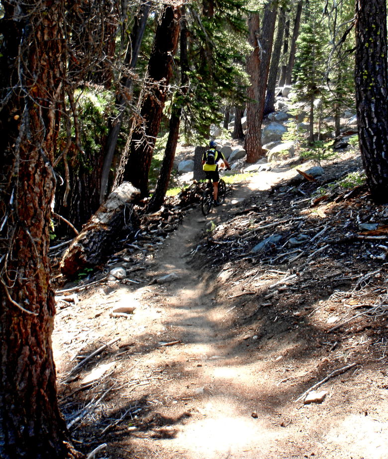
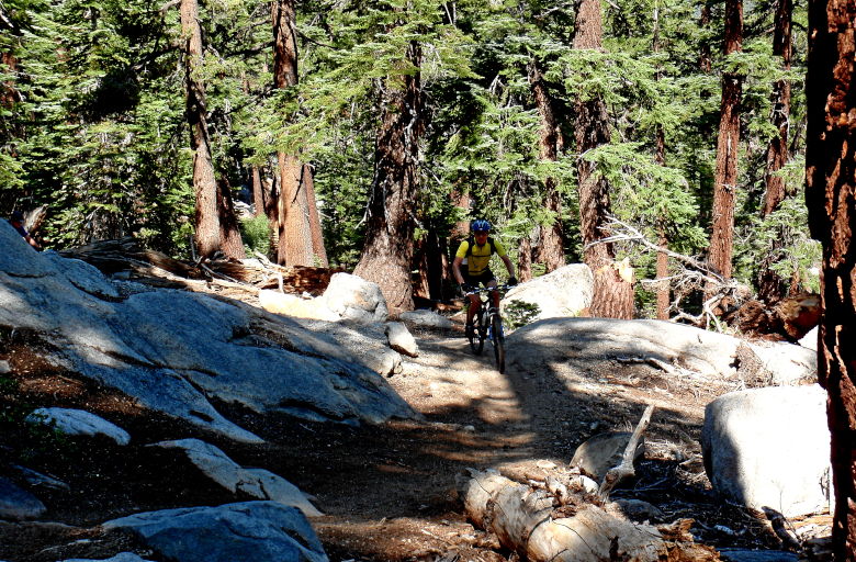
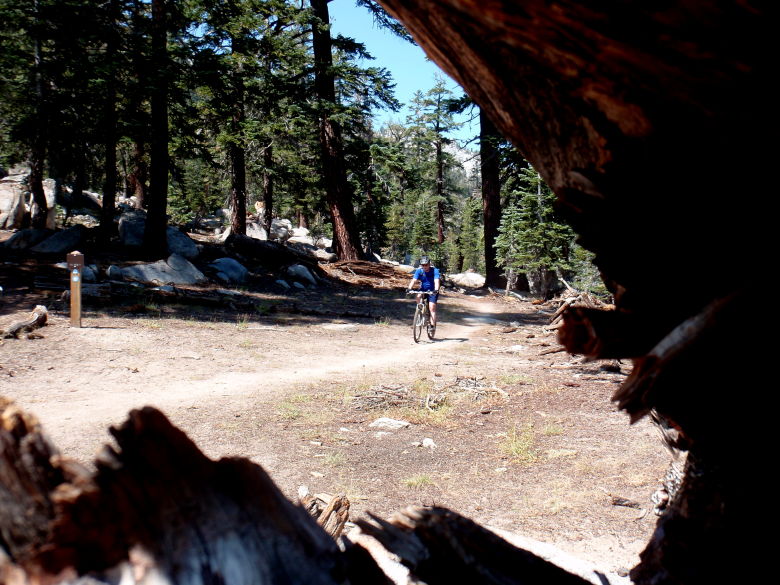
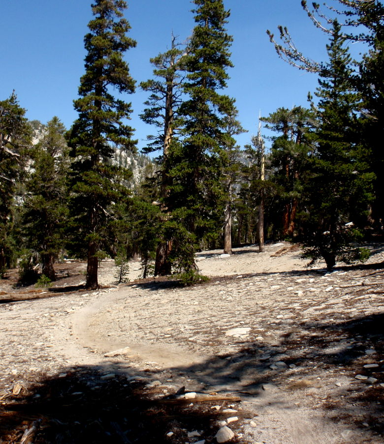
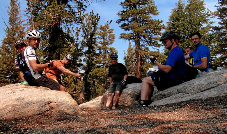
The seven of us stop for some lunch and a photo up. We might as well document who was there just in case we end up leaving a little carnage on the way down.
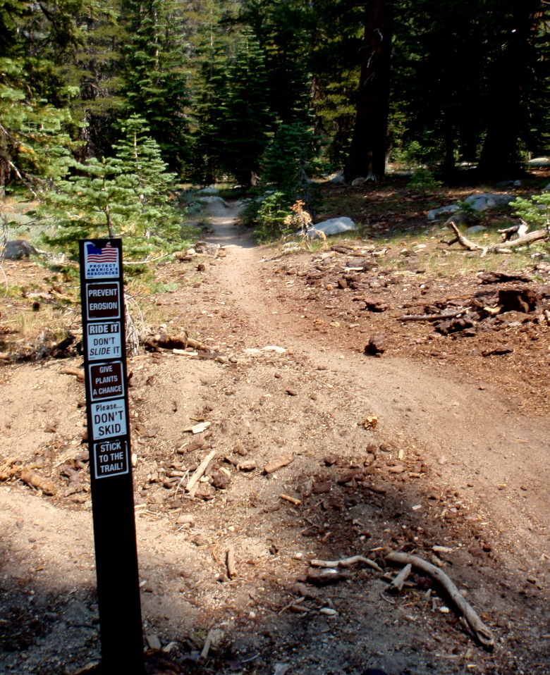
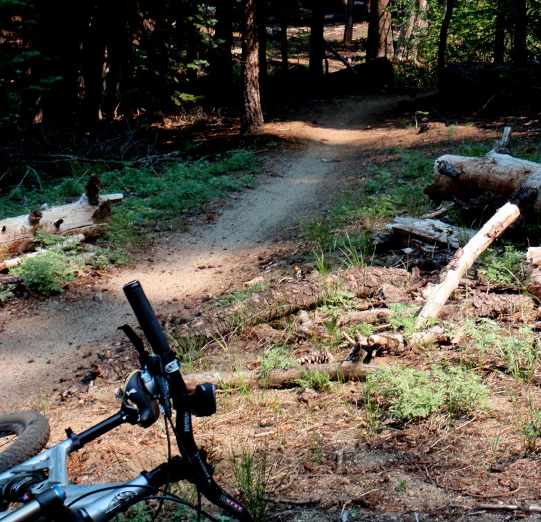
The moment of truth arrives! You won’t see too many photos. I only stopped a few times to rest my wrists or walk some nasty stuff. Four sections proved to be a little too much for my mind to ignore.
The upper part of Toad was a rocky jungle, but in a good way. You would roll up on a rock ledge and it would just roll down the other side. After about four of these, you begin to trust the trail. A couple of corkscrew sharp rock turns stopped me, but most of it was VERY rideable. The bottom half was an amazing roller coaster ride of banked berms and fast descents through the trees. Definitely, the best ride of the week

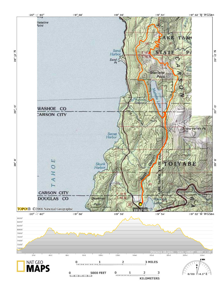
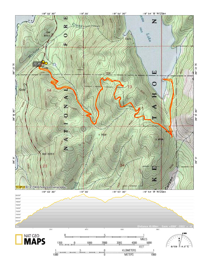
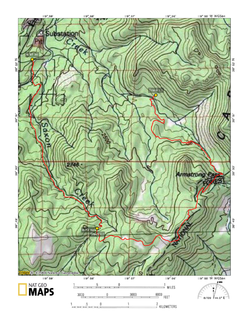
The GPS batteries ran out half way, so you’ll have to take my word on this map. Fourteen miles total with 2397′ of climbing.
That night I hung out with Roger at Cabo Wabo and watched a band screw up BTO’s Takin’ Care of Business. All the drunk Bachelorettes didn’t seem to notice. Then again, they were all probably born way after that song was a hit.
Friday, I packed up the bike, went to the beach, and walked around town.
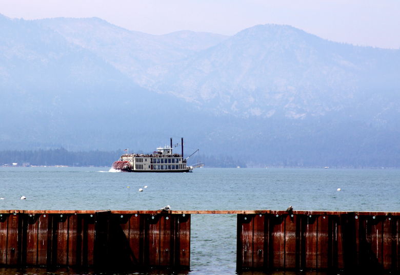
Does anyone else think this Casino is a monstrosity? You’ve got beautiful mountains, forests, a giant lake, and this thing. I’d love to meet the people on the zoning board that approved it.
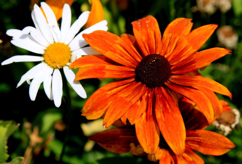
I bought a small one of these for my house.
Thanks for the memories, Tahoe!
A City, A State, and A President
by Mitchell Sprinsky on Aug.13, 2009, under Colorado
Kenosha pass to Georgia Pass down Jefferson Creek and back up to Kenosha. Mmmm… That’s good!
There was something wrong with the sky again today. It must be a conspiracy or something. I didn’t think they made Blue in that color.
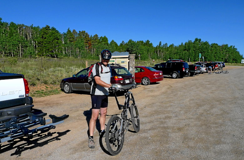
A City, A State, and A President
by Mitchell Sprinsky on Aug.09, 2009, under Uncategorized
Ah, what’s that? Eh, it’s just the CT.
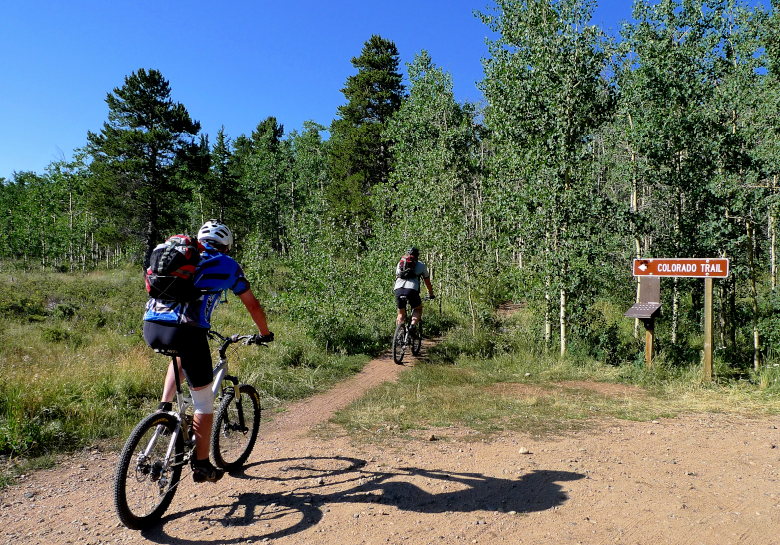
We mosied on up about and created our own Nature Valley Granola minute. Ok, so Heather Irmiger (aka Kelly Saunders) would have distracted from the view.
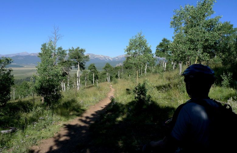
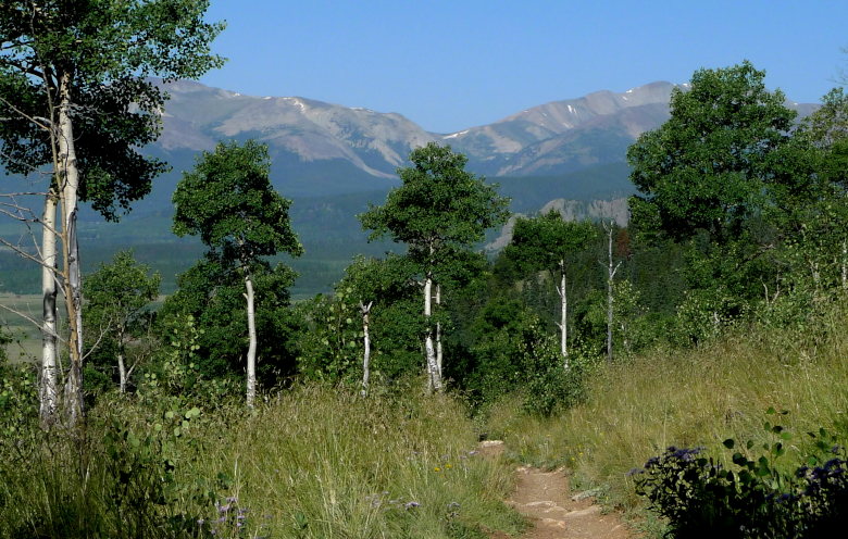
Don’t bother looking. It’s just some lousy old trail.
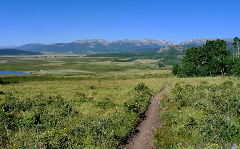
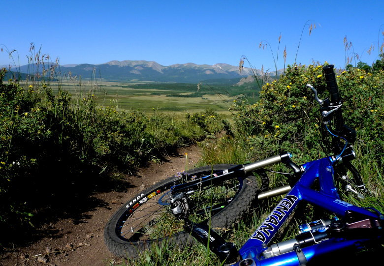
Hmm.. I made it into another picture.
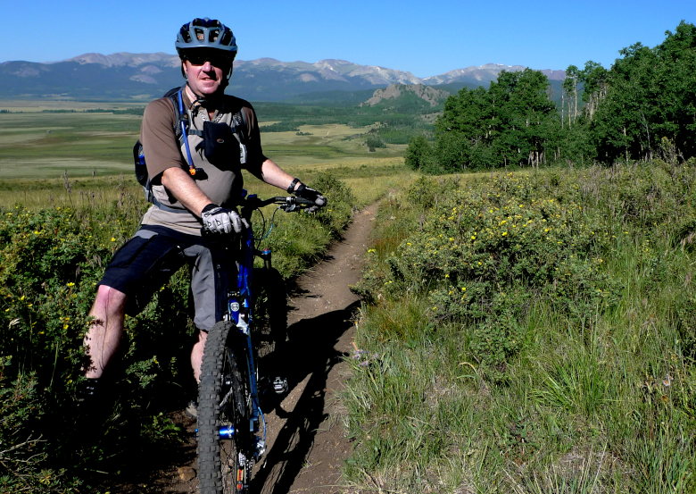
It’s about this point that we picked up a fourth named Randy. A mighty climber that made us all look slow. He joined us for the remainder of the ride and I think we pushed his limits a little on Jefferson Creek.
We had many hours of dirty fun. Even with boat loads of climbing.
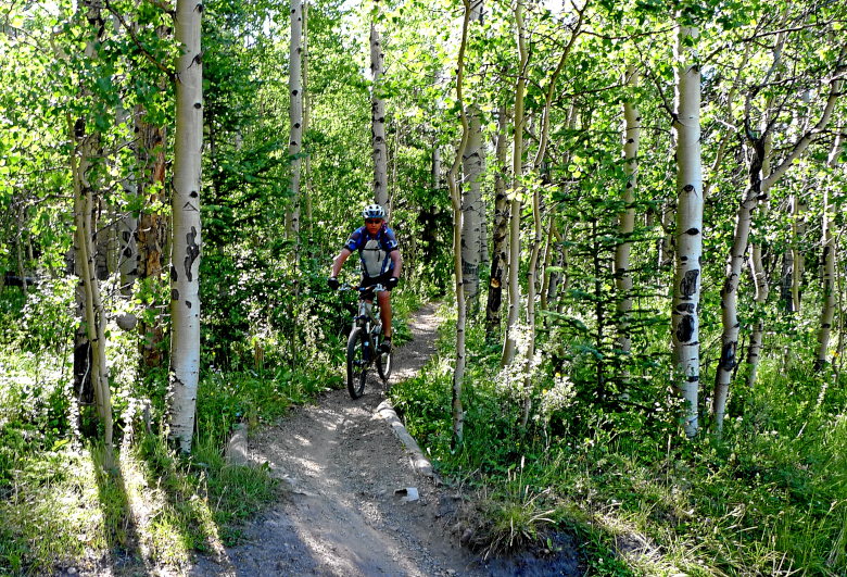

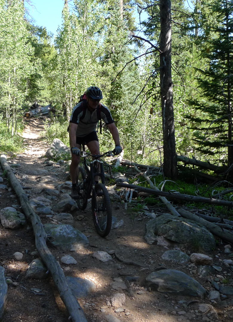
Sometimes, it even let us rip a few feet.
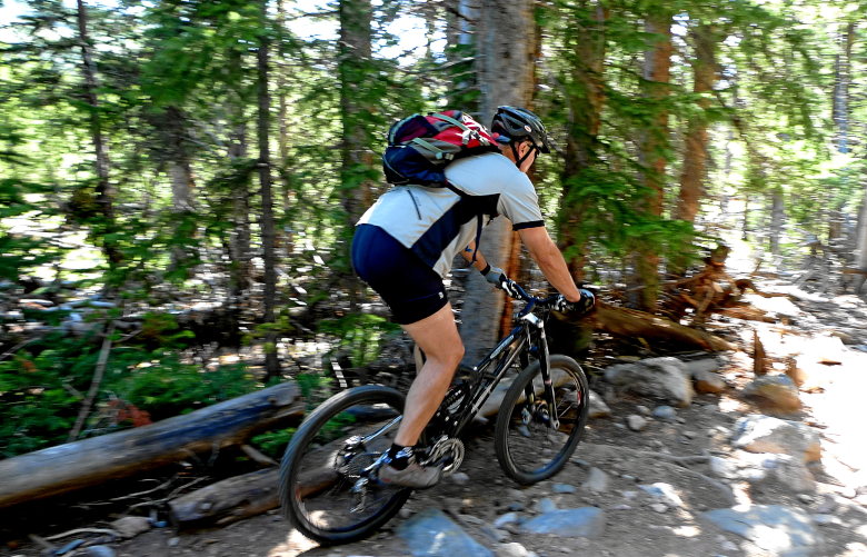
Gateway to fun.
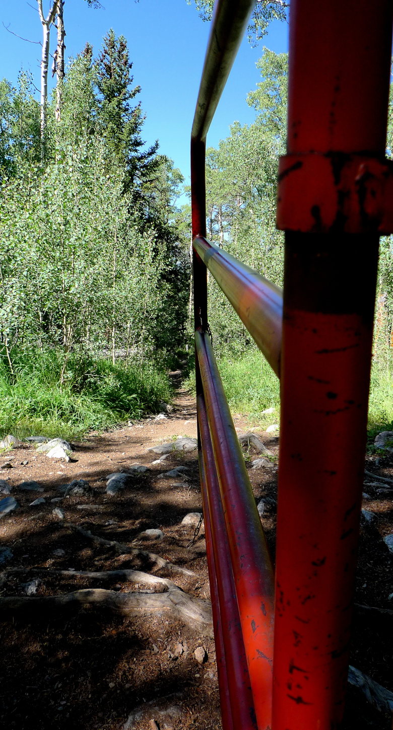
I did say fun. Even some slimy fun.
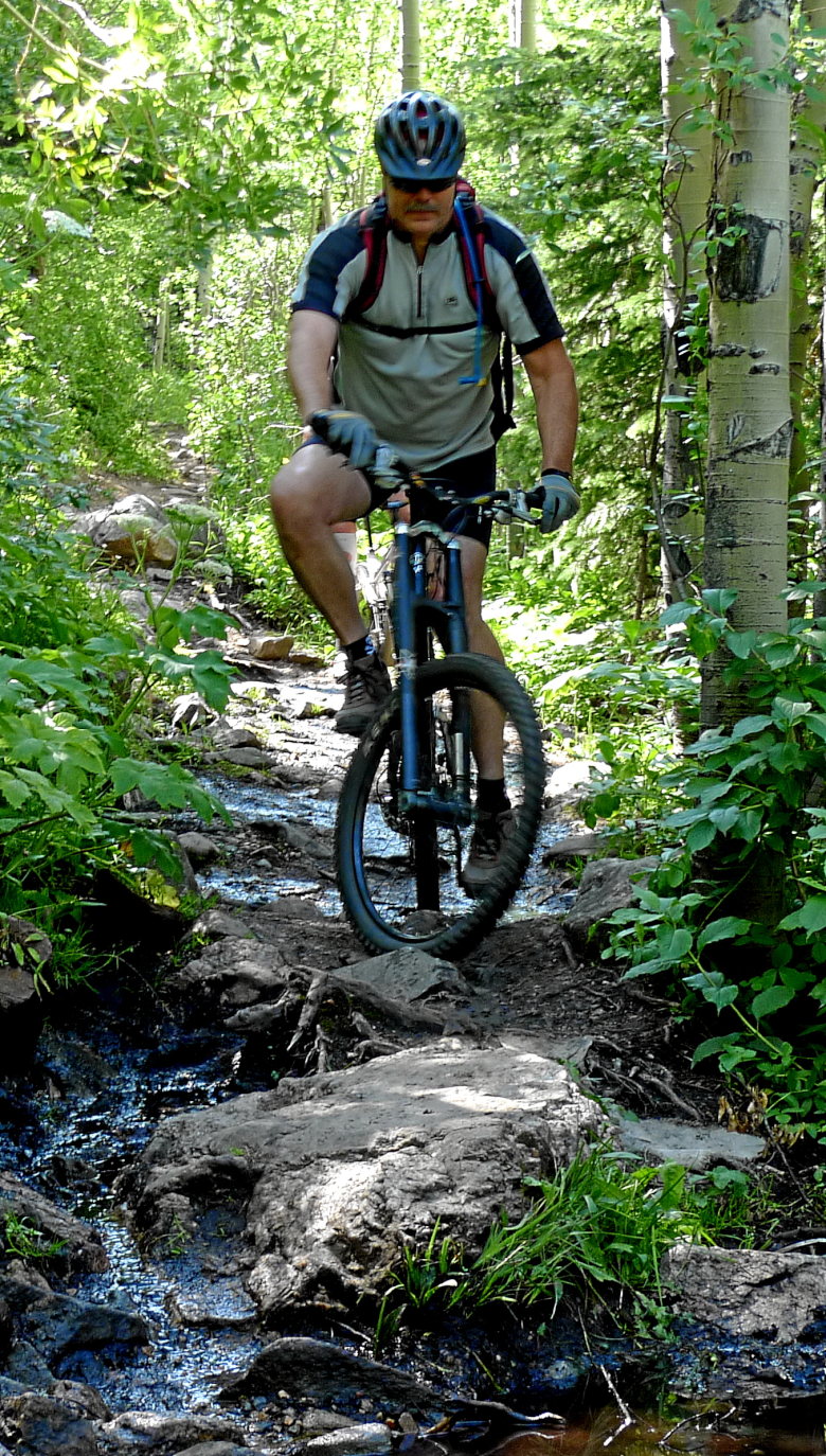
The overlook. Are you looking?
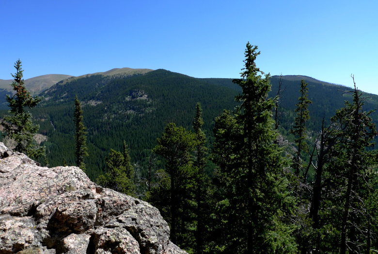
A bit more climbing as things steepen just a tad.
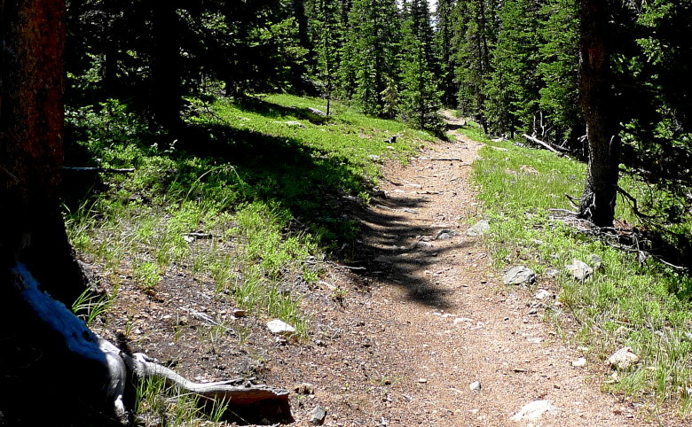
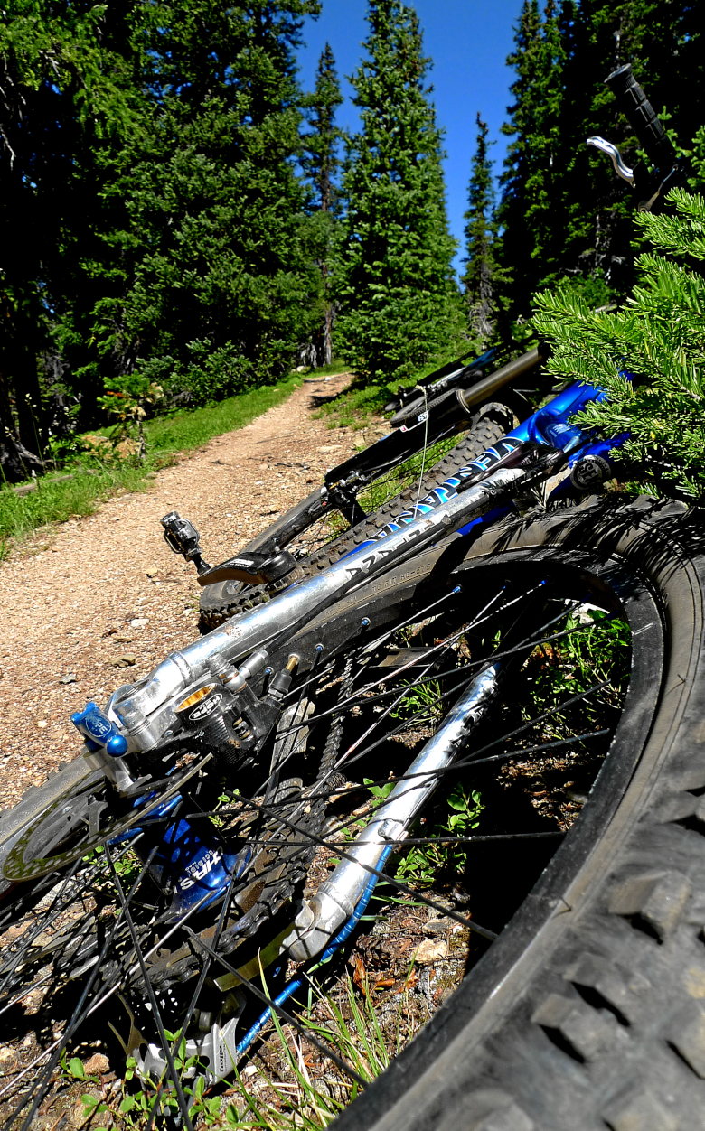
Nothing says, "the journey is half way through" more than a high alpine meadow.
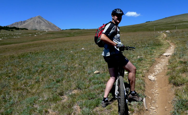
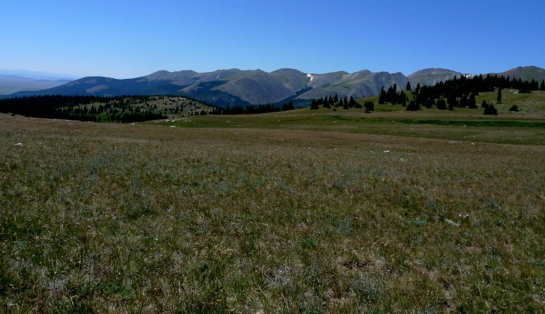
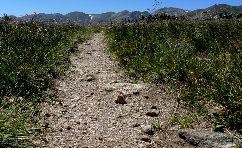
Whoa! What’s this? More singletrack.
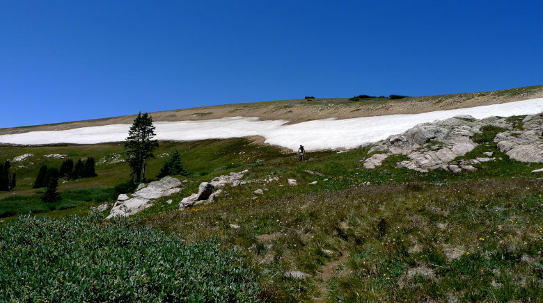
Dang! I forgot my skis.
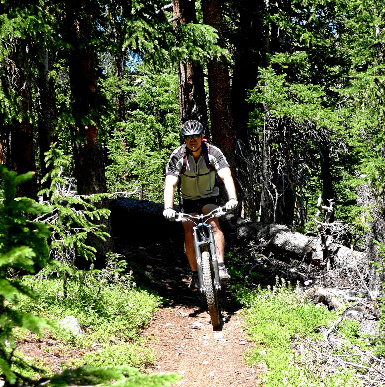
I love the Jefferson Creek trail. It makes climbing all the way up worth it!
Yes, there is a Jefferson Creek.
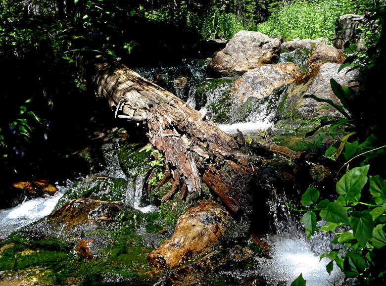
And flora.

Alas, we climb back out again and bid farewell to another year of the pass.
