Author Archive
Larison Rock
by Mitchell Sprinsky on Aug.23, 2006, under Uncategorized
Lots 'o trees!
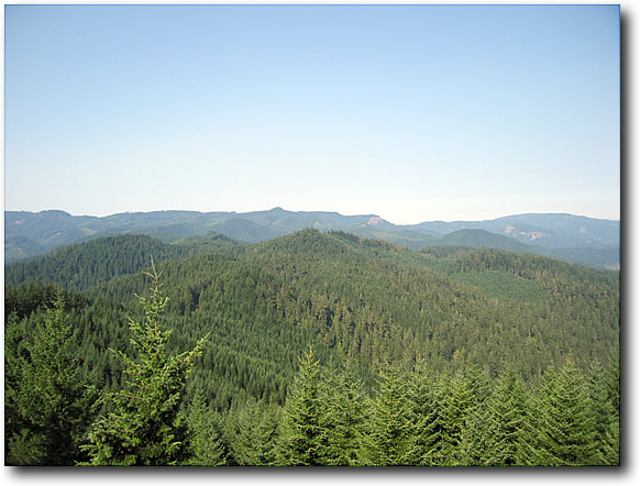
Off the rock and on the trail. It's all downhill from here for the next six or seven miles. Easy? No. Steep downhill with switchbacks, exposure, and unexpected drainage channels. The kind of downhill that leaves your brakes smoking at the end and your hands permanently molded in a death grip. In other words, too much fun!
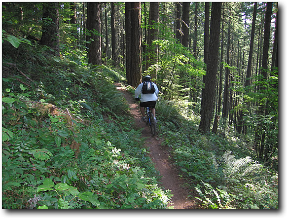
Alex takes a spill, but this kid has guts.
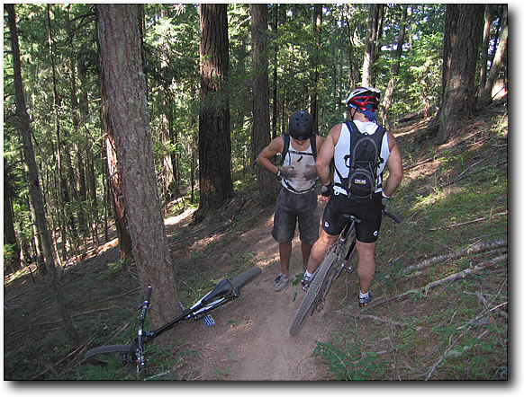
I had to stop a couple of times to see if the feeling in my hands would come back.
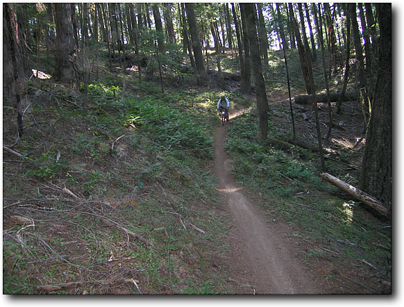
Alex taking a breather.
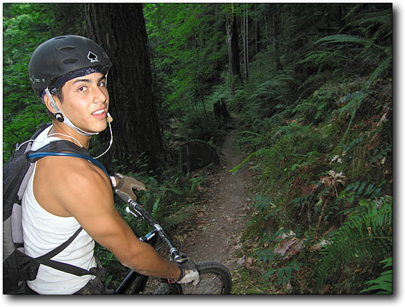
Lenny taking the corner.
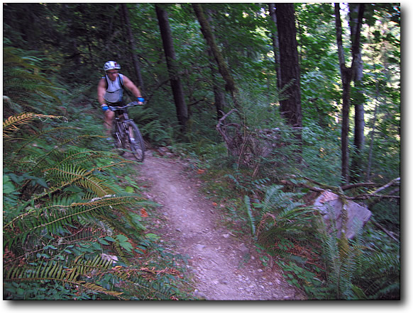
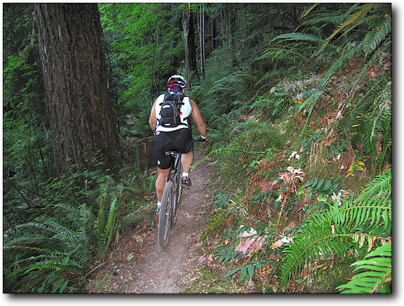
Alex proving that even if you don't ride a mountain bike very often, you can have natural skills.
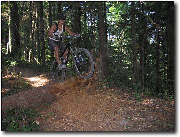
That was no slouch of a trail! A well deserved dip in the COLD creek was in order at the end.
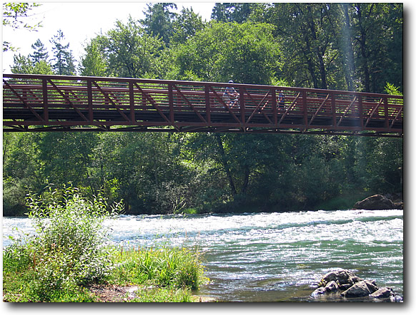
Followed by another night of…
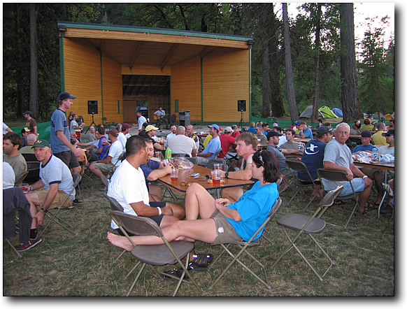
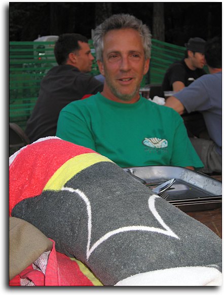
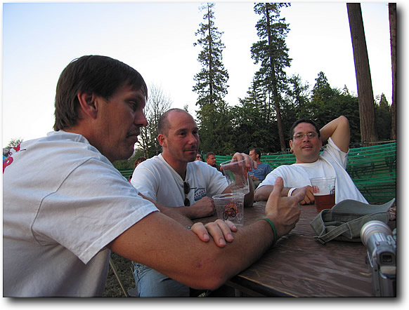
And a very happy ChippY and company.
I got some great (full helmet cam) video of the ride. Link to follow.
Alpine Trail
by Mitchell Sprinsky on Aug.22, 2006, under Uncategorized
The bus drops off us at the top. Well, almost. This is the starting point of the Alpine Trail (22 miles) and for those more adventurous, an extra mileage option on Tired Mountain. I stuck with Alpine. There were a few who did the fire road climb to the trailhead. Good for them!


We head up on what looks like a newly cut in trail of beautiful singletrack for another mile.

At some point we intersect with Alpine Trail, but I couldn't tell you were. I was having way too much fun. Just pure narrow singletrack alternating between thick wooded cover and meadowy views.


The group splits apart shortly into the trail. There are three groups with the hammerheads leading the way, the gawkers (me) in the middle, and the sweepers bringing up the rear. It was a good pace for me. Definately not a technical trail, it did carry a lot of speed!


The end drops you by a beautiful covered bridge, the last nice thing you'll see as you ride the scorching blacktop five miles back to camp.


Dinner was uneventful. I ate it, but I don't remember what it was. If there was one thing I would improve, it would be the food. The beer flowed all night (Coca-Cola for me) along with entertainment on the stage.
McKenzie River Trail Video
by Mitchell Sprinsky on Aug.22, 2006, under Uncategorized
McKenzie River Trail
by Mitchell Sprinsky on Aug.21, 2006, under Uncategorized
At 27 miles, it would have been an agonizing ride without the shuttle.
We're dropped off at the starting point and head off into the forest.


The trail follows the river downstream. What does that mean? Downhill for 99.8% of the way. Not a "no pedal" DH, but enough to let you take in the beauty of this area without bursting blood vessels.
It was actually a pretty good start for me and what seemed like a fast pace. Although we tried to slow it down a bit, fun took over.
Chip sweeping the trail:

The trail starts off very smooth. It's a nice flowing twisty tree covered singletrack that aside from the altitude it starts at, reminds me of the east coast. Oh, and the trees in Oregon are much bigger!
All along the way are bridges that cross streams and rivers. It's interesting that the trees are so large, you can actually make a bridge out of one.

Every now and then we take a break, look around, and adjust our pace. A couple of wrong turns take us to a trail around a crystal clear blue lake.


We end up riding through a lava field to a paved path. Just a sample of what's to come, I guess.
Back on track and another bridge to cross.


I wouldn't call this a super technical trail. In fact, if it weren't for the distance, it would be a great trail to take a rider with just a little time under their belt.
But, oh the scenery!


The river then disappears under the ground. I'm guessing in a lava tube, because when it comes back out at a turquoise blue hole, the trail becomes a bit more technical.


Now you have to contend with babyheads and sides made out of razor sharp lava rocks.
I think Joe got a little scared and had an incident.

I think this was my favorite part of the trail. As nasty as the stuff is, I thought it was hoot! I wish I had more photos of this section, but I didn't want to stop.


The lava eventually fades and whats left is a smooth pine needle covered floor. Can you say FAST?

Mauricio wondering why he has no competition:

Another spot where we lose the trail.

Back on again for a short spell, before bailing to the road for the ride back to the car. Many of us ran out of water since it was unusually hot and dry in Oregon.


I have now replaced Two Elk with MRT as my favorite trail. Worth the trip!
Hopefully some of the video comes out since the camera (bullet cam) kept fogging up.
Camp Hale to Tennessee Pass
by Mitchell Sprinsky on Jul.30, 2006, under Uncategorized
Since this is an out and back, it's only fitting that to enjoy the downhill, you have to earn it. Judging from what lies ahead, there's a lot of earning.
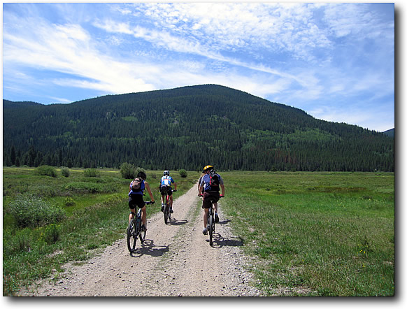
In no time we are on the sweet singletrack of the Colorado trail. My fourth section of this mighty trail since arriving in Colorado.
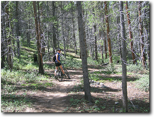
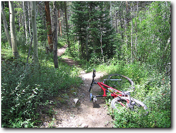
Trying to keep up with everyone is tough since I am still not acclimated to the altitude. But, salvation comes five minutes into the ride with the first flat tire. Ah, a chance to catch up.
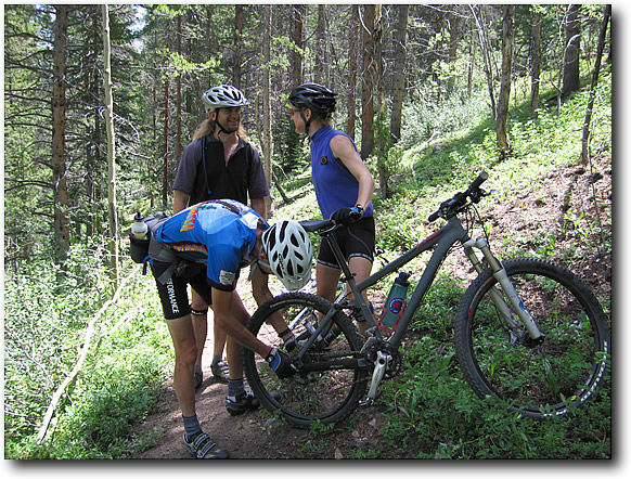
Back on the bikes and back on the climb.
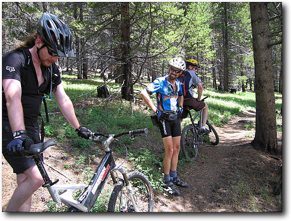
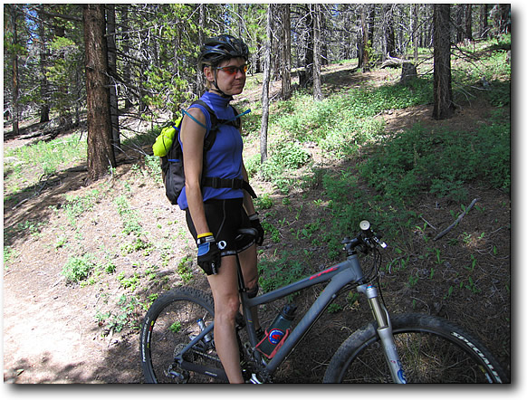
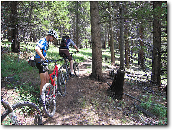
Heading up the Tennesee Pass yields more views and more singletrack.
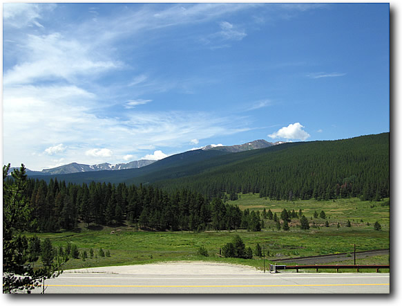
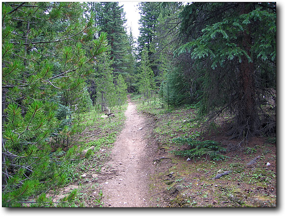
Eventually, the trail turns onto some old mining road doubletrack. We follow the tailings until it leads us to a parking lot by Ski Cooper. Now we go back? Nope.
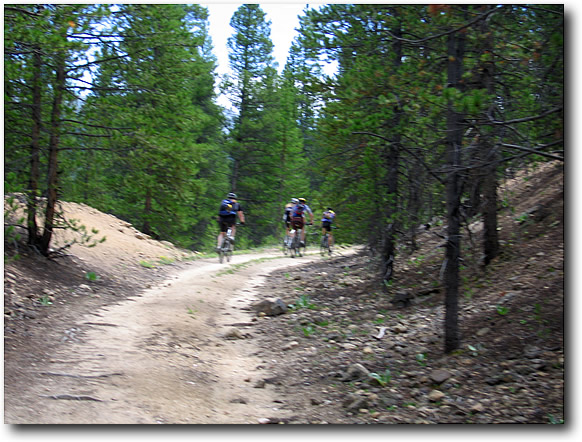
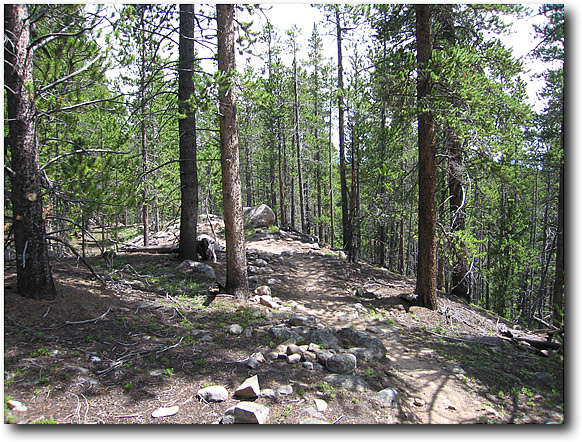
Back onto the singltrack and it gets more fun as rocks start adding some technical features to the trail.
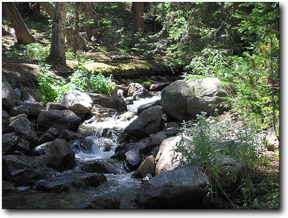
We reach the two bridges over "my" creek and have some lunch.
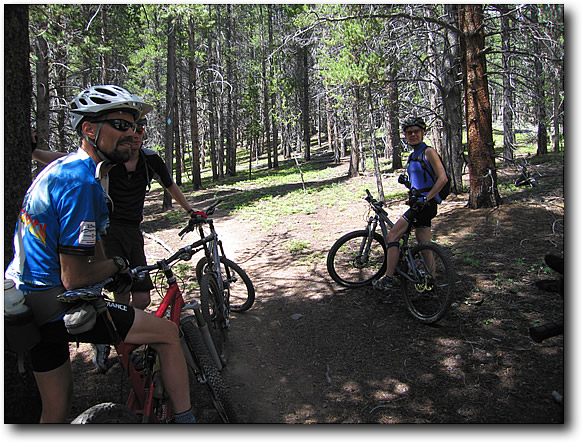

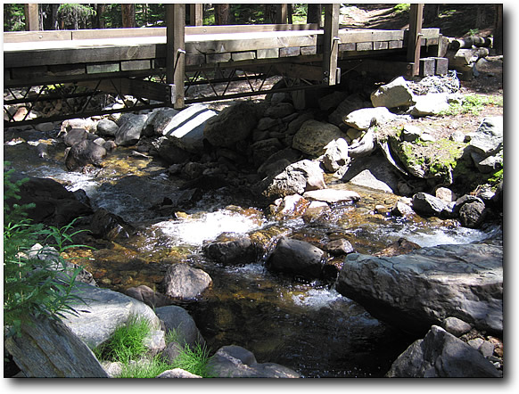
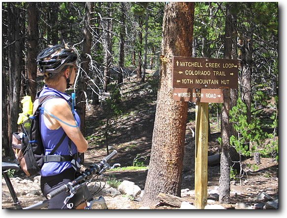
Did I mention the trail full of rocks?
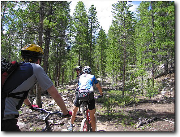
Are we done yet? Nope. More climbing.
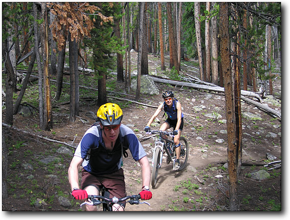
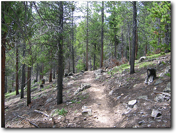
Finally, we reach the turn around point. And just in time. Having not eaten breakfast, my blood sugar is low and I am very dizzy. But not dizzy enough for the downhill. Yes, it's all worth it. Eventually we come out to the train tracks and I take the shortcut option which involves a little blacktop to the singletrack again. This avoids a couple of climbs along the way. Yes, it's cheating but I'm seeing double at this point and need to get a Coca-Cola IV as soon as possible.
We come out of the trail near some old bunkers, that I missed heading in.
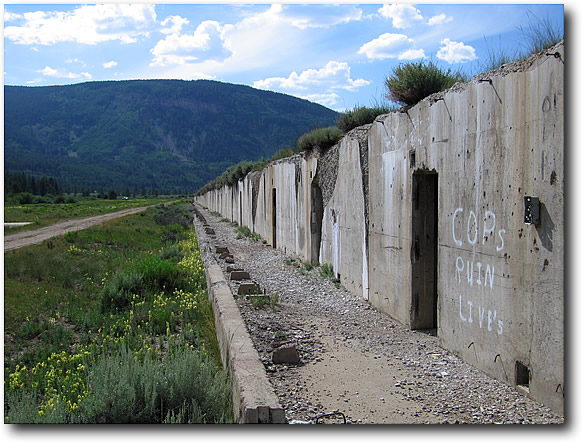
Another look at the views and we head to dinner in Leadville at the Tennesee Pass Inn (great food, by the way) and meet up with the lost group.
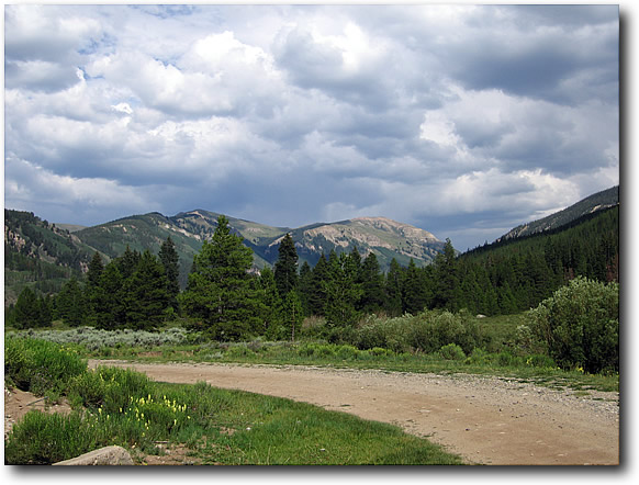
I was supposed to ride at Peaceful Valley on Sunday, but was way too pooped. So I ate like a pig at Buffalo Bill Days fair in Golden, my future permanent residence in Colorado.
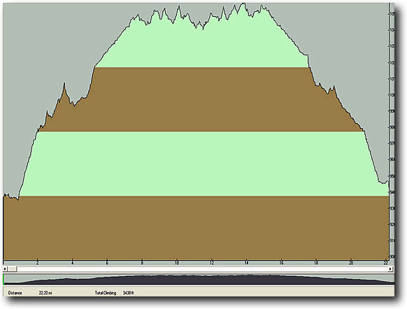
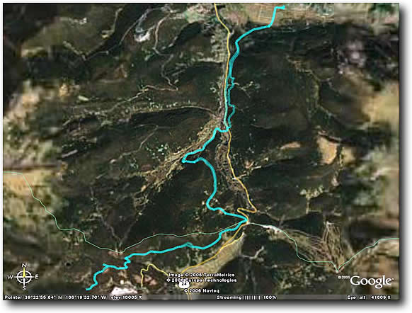
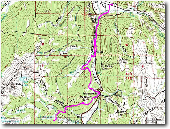
GPS stuff:
3438' of climbing 3080' of decent (huh? How'd that happen?) 22 Miles Top speed of 45 mph. (figure that one out)
